Summary
General Information
Cráter Volcán Chaitén
Country: Chile
Region: Región de los Lagos
Area: Parque Pumalín
Nearest city: Chaitén
Number of journeys: 1
Total distance: 4km (sólo ida)
Trail Markings: Frecuente y clara
Trail: Claro y marcado
Route type: Ida y vuelta
Bosques
Panorámicas / Paisaje
Apto para niños menores de 10 años
Difficulty:
I did it

Hiking routes
CRÁTER VOLCÁN CHAITÉN
Parque Pumalín
Author: Álvaro Vivanco (CL).
Introduction
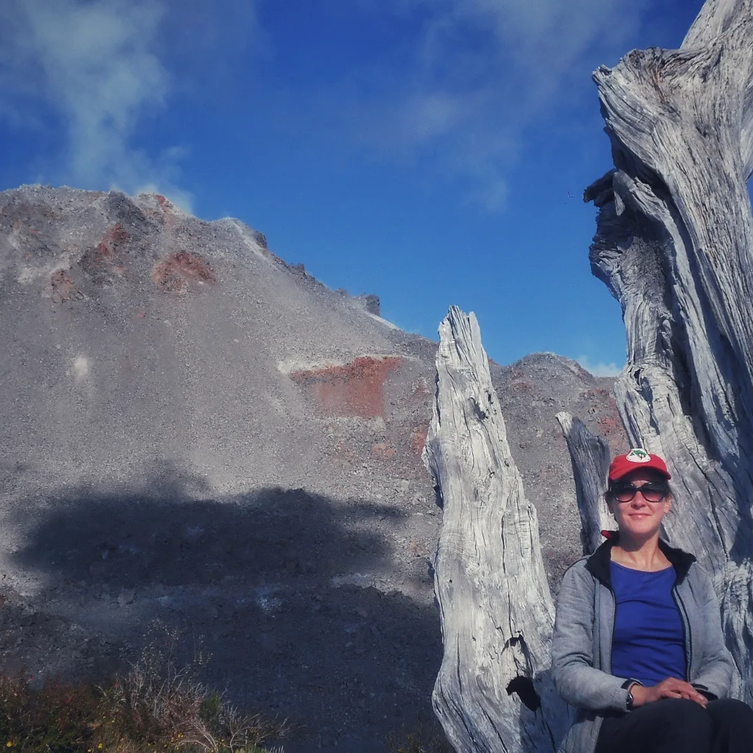
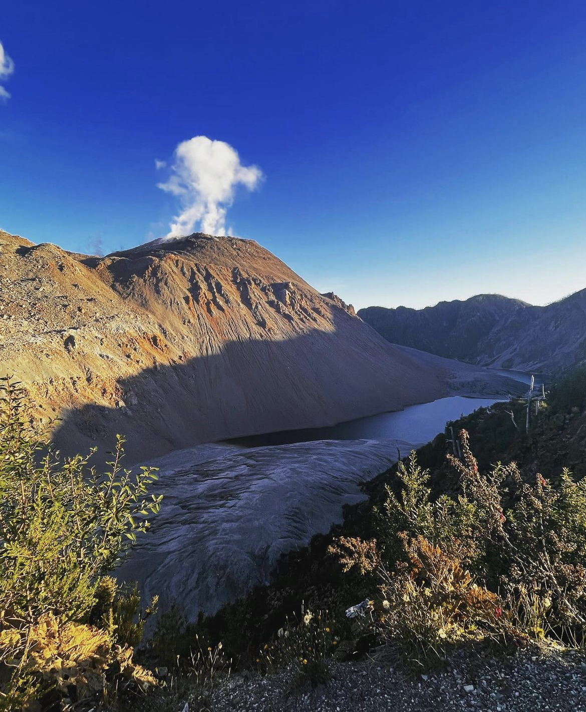
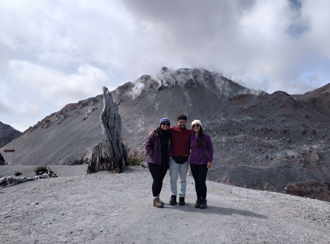
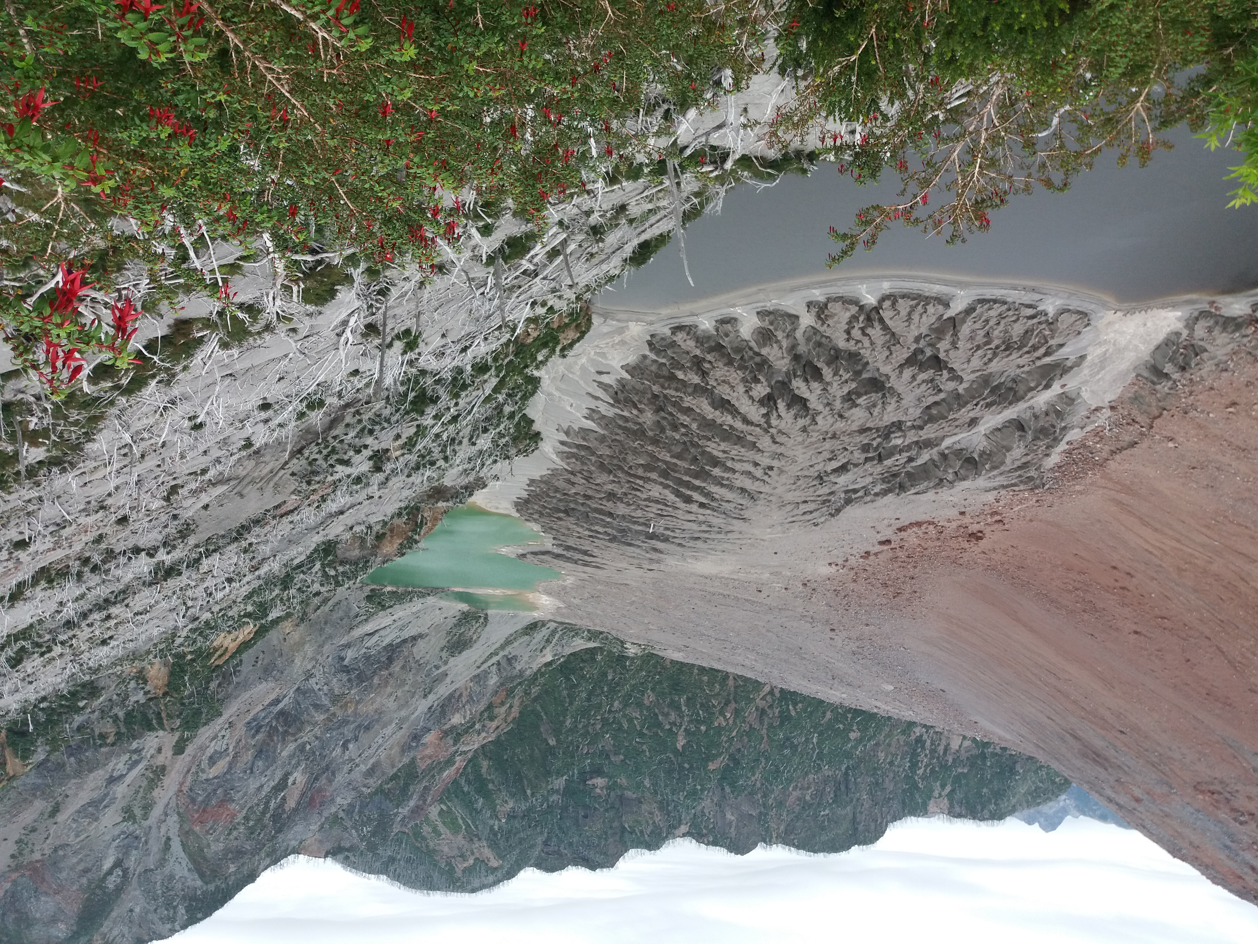
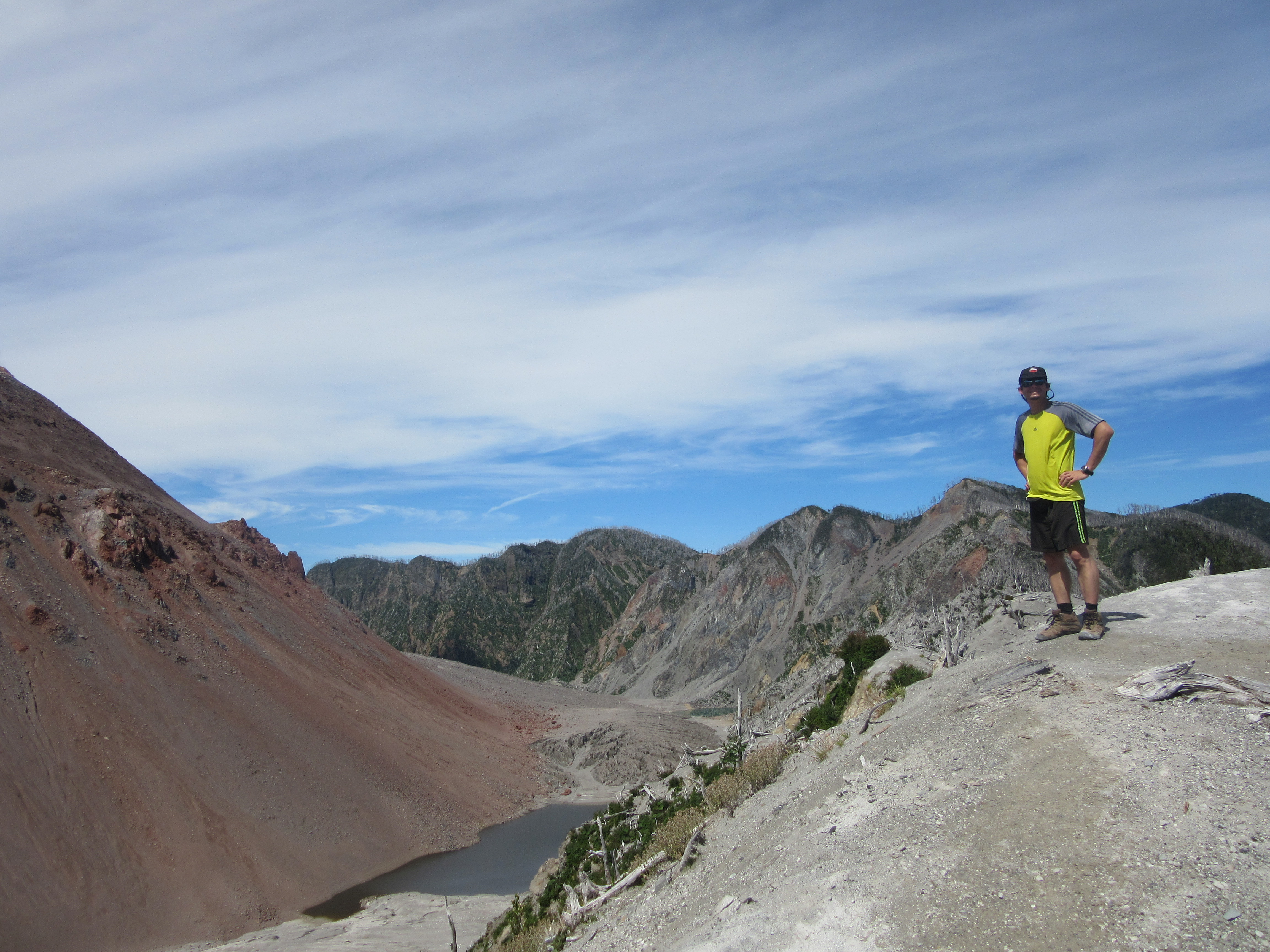
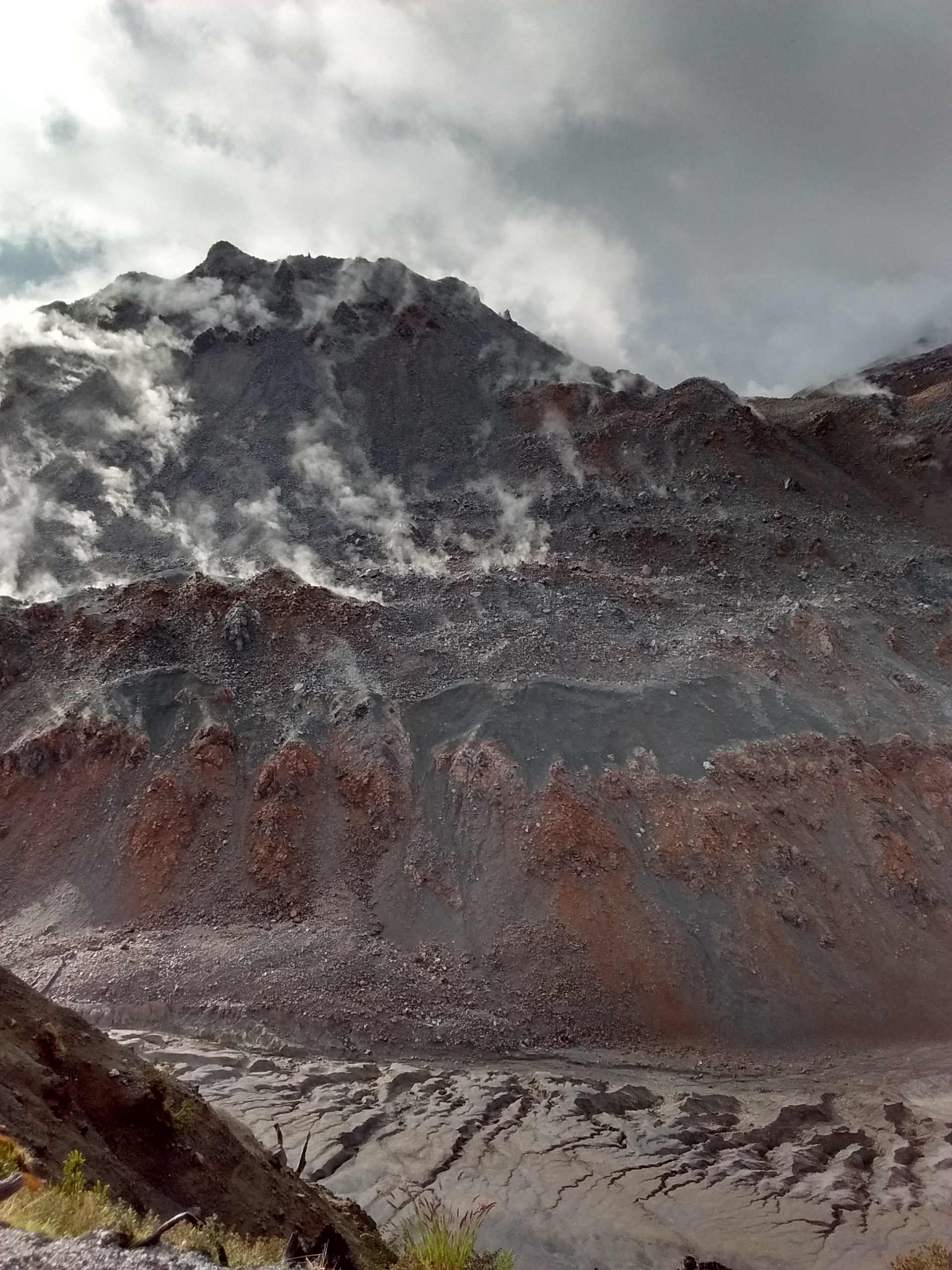
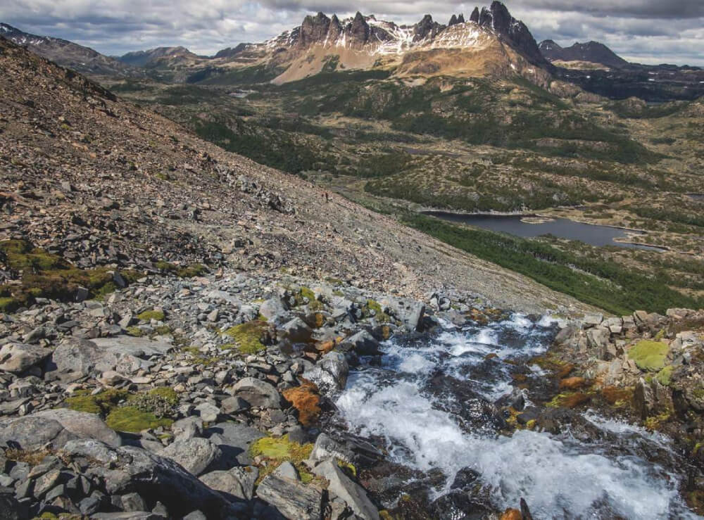
After its great eruption in May 2008, the Volcano Chaitén not only propelled itself out of obscurity but it also changed the entire appearance of the sector. Within its crater two new 200m high domes appeared, completely altered the summit. The forest which previously had dominated the area was all but flattened by volcanic ash and rock purged by the volcano. This recent disaster has allowed the Pumalín Park administration to open a route that leads right to the edge of the crater through an area previously covered by dense forest.
It is now easy to reach the edge of the smoking crater and wonder about how this volcano continues to spout fumaroles without interruption.
Appropriate season
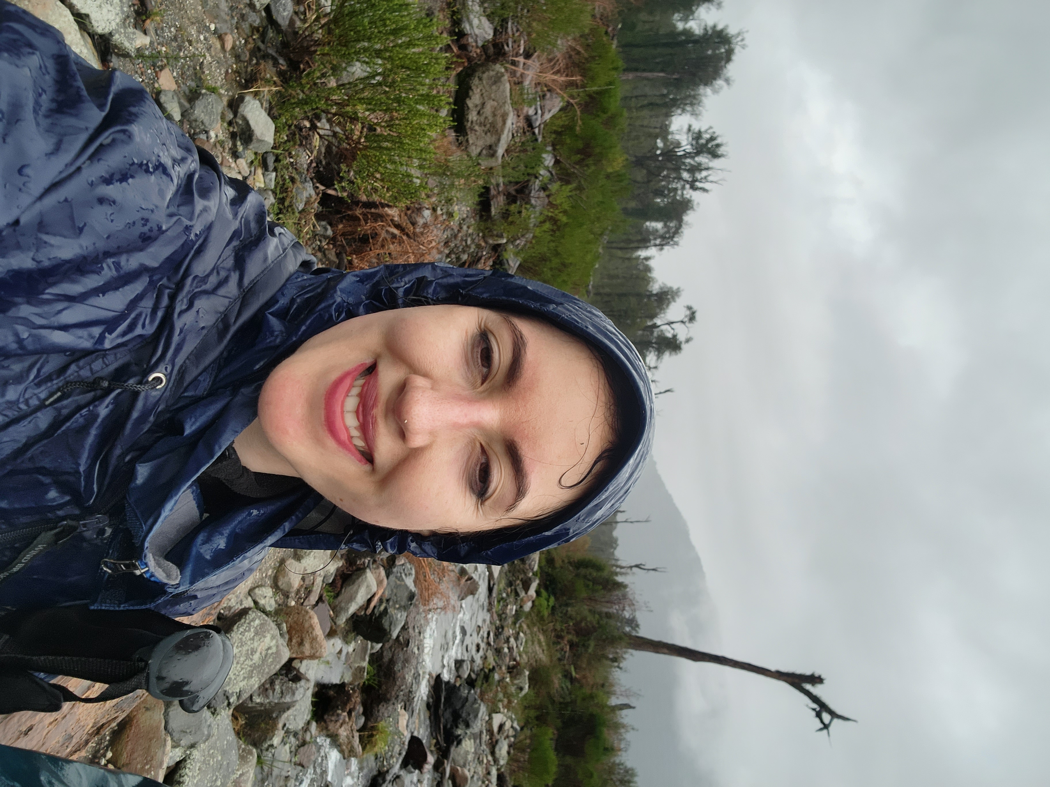
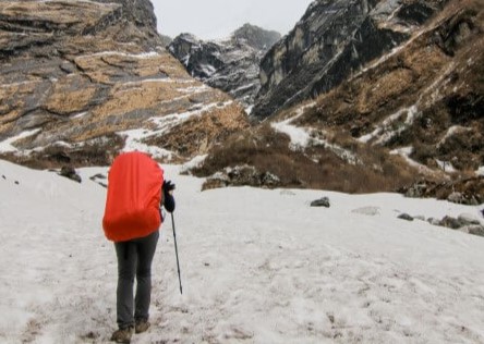
All year round. That said, it is advisable to take into account that the Volcano Chaitén is located in an extremely rainy part of Chile, and that there can be snow in winter. This being the case we suggest that you visit in Summer.
Access
Puerto Montt – Chaitén
Chaitén can be accessed from Puerto Montt in a number of different ways. The first option is to follow the Carretera Austral for 99km to the village of Hornopirén, which means crossing the estuary Estuario del Reloncaví by taking the boat, a journey which takes about 45min. From Hornopirén take the boat which departs every day to Leptepú or Vodudahue (timetables and prices can be found at Transportes Austral). This should take around 3h. From this last point where you get off the boat in Leptepú, continue along the Carretera Austral for another 10km, crossing the Huequi peninsula until you arrive at Fiordo Largo where you will need to take another boat to Caleta Gonzalo, taking 45min.
From Caleta Gonzalo to Chaitén is another 58km. After 29km along this route you will pass the entrance to the Volcán campsite and after another 5km you will reach a sign on the left (east) handside of the road correctly marking the beginning of the route.
There is regular public transport which passes by the route. For more information on timetables and prices, visit the bus terminal in Puerto Montt as these change frequently.
You can also reach Chaitén from Puerto Montt via the island Chiloé. From Chiloé, take a boat from Castro (note: boats only run in summer; for more information on timetables and prices go to Naviera Paredes).
To reach the start of the route from Chaitén, head north along the Carretera Austral. After passing the village Santa Bárbara you will come to the entrance of Pumalín Park, and after another 24km you will cross a bridge over one of the rivers down which flows volcanic material and from where you can clearly see the effects of the eruption. A little further on on the right handside you will find the car park and the start of the route, both well signposted.
Another option is to take a plane from Puerto Montt to Chaitén. More information can be found regarding timetables and prices at Aerosur.
Permits / Prices
The entrance to Pumalín Park is free.
Accommodation / Facilities
In Pumalín Park there are various sites where you can camp. The closest to this route is called El Volcán which can be found 5km to the north of the access point to this route.
Recommendations
- Due to the volcano’s activity, it is not recommended to try to reach the summit which is permanently covered by fumaroles.
Gear
- Trekking boots or high-ankle boots
- Trekking poles (optional)
Schedule
- Chaitén – Crater – Chaitén


Comments
Cráter Volcán Chaitén
Patricia Repol 29/06/2022
Other excursionists: Erick Troncoso
Punto alcanzado: Crater
Fecha expedición: 29/06/2022
Sendero abierto junio 2022

Terraventura Outdoor 31/07/2023
Punto alcanzado: CIMA
Fecha expedición: 05/05/2022
LLUVIOSO TODO EL SENDERO, Y VERDE TOTAL COMO ES LA PATAGONIA NORTE, DURACIÓN 2 HORAS
Alejandra Morales Pimentel 12/02/2021
Punto alcanzado: Cumbre
Fecha expedición: 16/01/2020
Sendero muy marcado y de fácil acceso. Si bien, es un recorrido apto para cualquier persona, considerar que se deben subir muchos escalones y luego bajarlos. Indispensable el uso de bastones de trekking en personas no entrenadas e ir con el tiempo suficiente para poder disfrutar de la hermosa vista en la cumbre.
Hernán Felipe Núñez Cristi 18/02/2019
Punto alcanzado: 757
Fecha expedición: 10/03/2018
Linda ruta, se puede subir en poco tiempo.
Cristián Arriagada 29/01/2016
Punto alcanzado: Cráter
Fecha expedición: 26/01/2016
Muy recomendable para todo público. La ruta va por un cómodo sendero que facilita mucho llegar al cráter, desde donde se tiene gran vista a las fumarolas de ambos domos, lagunas, bosques, ríos y mar.
José Miguel Hernández Muñoz 19/01/2016
Punto alcanzado: Cumbre del antiguo crater
Fecha expedición: 18/01/2016
Ruta muy empinada pero bastante accesible a todo tipo de persona, experimentado o no. Recomiendo subir en la mañana ya que hay un bus que sale de chaitén a las 7 y te deja al inició del sendero y además hay menos nubes y puedes contemplar la hermosa vista del trayecto. Muy impresionante e inesperado lo que ves al llegar al cráter, una ruta y una cumbre preciosas!
Nicolás Berríos 07/04/2024
Punto alcanzado: Mirador
Fecha expedición: 22/01/2015
Hermosa vista del cráter y el nuevo cono que se formó dentro del mismo. Vale la pena de todos modos hacer el ascenso

I did it!