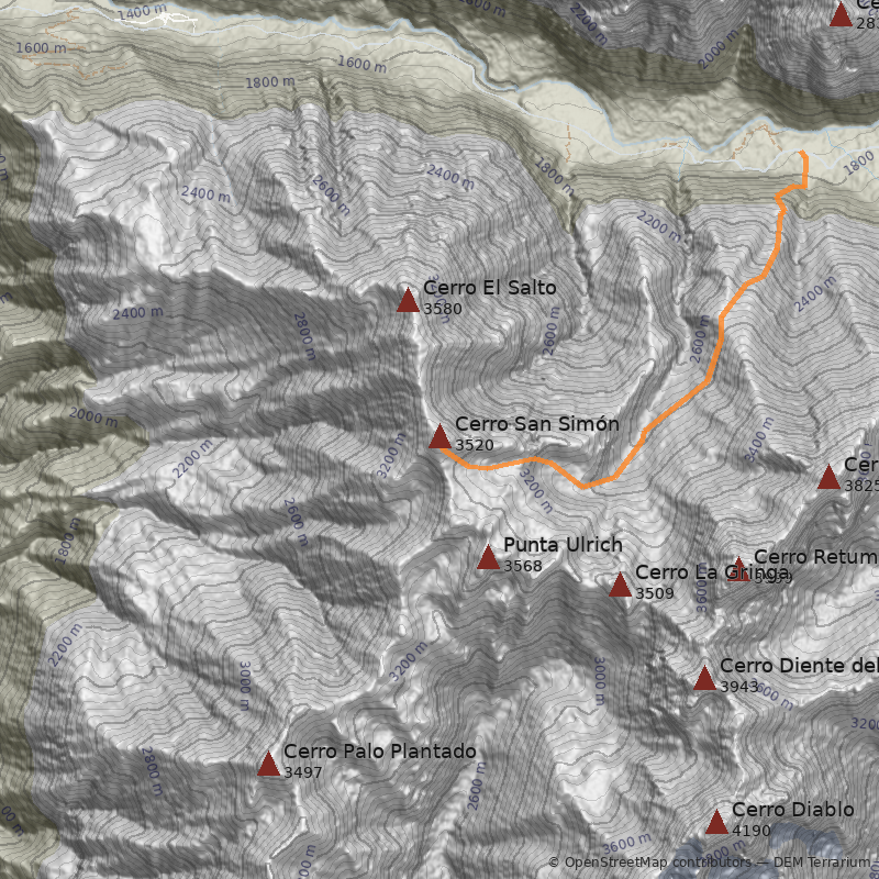
Cerro San Simón (3.580m)
Región Metropolitana / Cajón del Maipo / Ciudad cercana: San José de Maipo

 AHB Maps
 Muy linda ruta por el cajón del yesillo Y una tremenda vista desde su cumbre
Más reciente
Libro de cumbre
Normal por el Yesillo
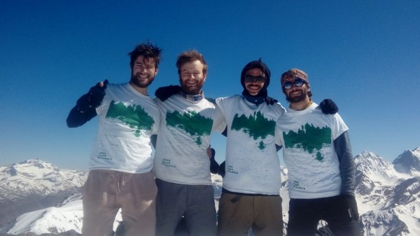
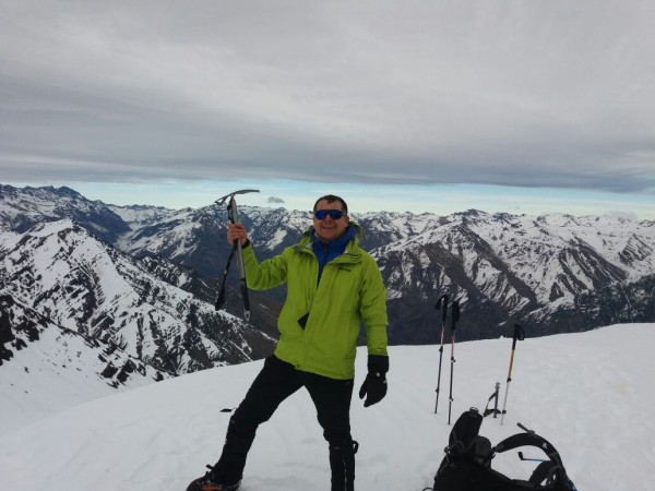
 Cuatro amigos hicimos cumbre en el Cerro San Simón en una salida por el día, ascendiendo por la ruta Normal desde El Yesillo. Jornada fluida y bien acompañada, con buen ritmo y paisajes abiertos que se disfrutan a cada paso. Una cumbre sencilla pero muy gratificante, ideal para reconectar con la montaña y el compañerismo.
Libro de cumbre
Normal por el Yesillo
 hace 8 años lo había intentado en invierno, ahora si resulto por el día y fue hermoso.
Libro de cumbre
Normal por el Yesillo
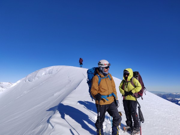
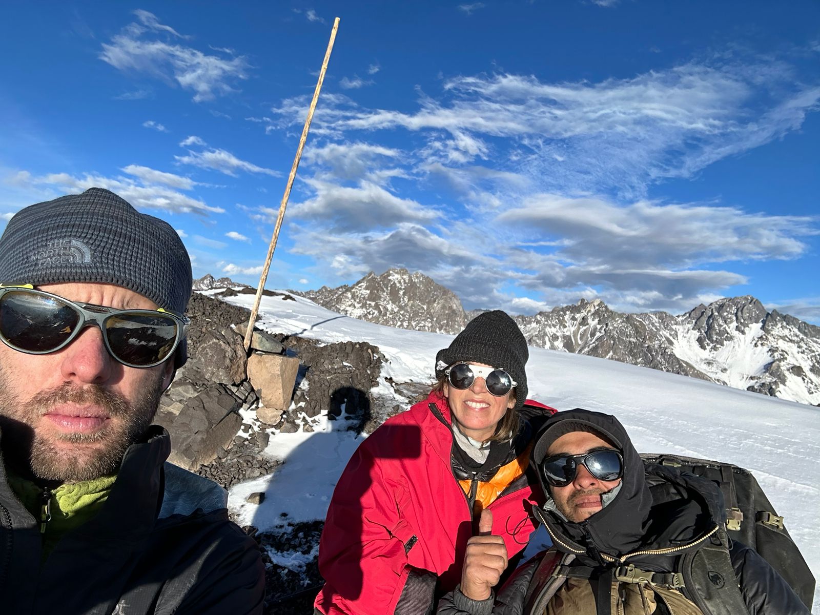
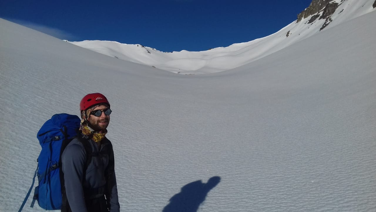
 en la foto Gabriel Acuña Cerro entretenido y no tan fácil. Me pareció más exigente que el san Gabriel, por dar una referencia. Nieve polvo en el tramo final lo que resultó agotador.
Libro de cumbre
Normal por el Yesillo
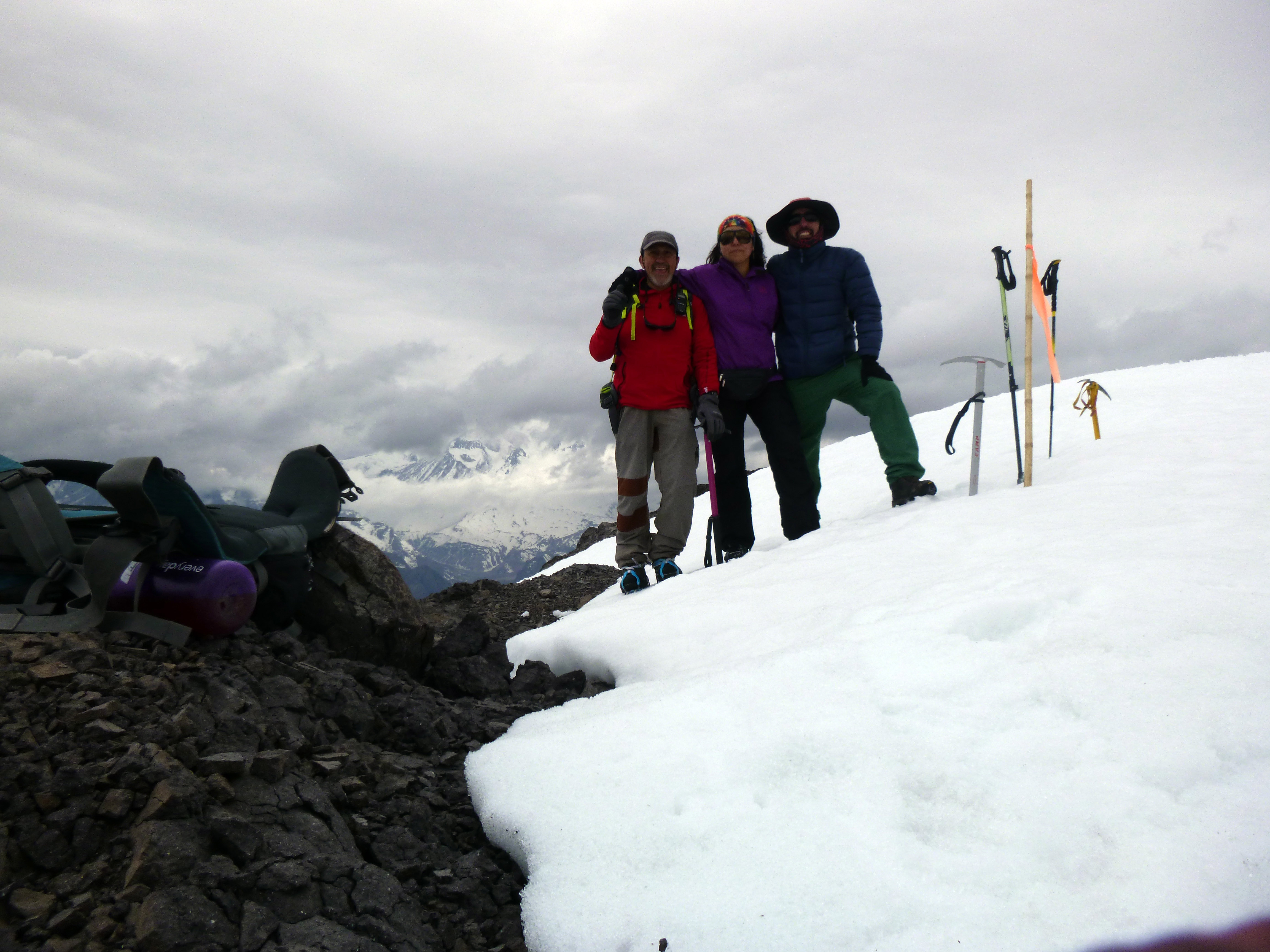
 Grande CTUA (Como Talar un Alerce) Cerro bonito por la gran vista que se tiene de su cumbre (como varios de la zona). El primer día es sin duda más pesado que el día de cumbre (en lo que respecta a ascensión). Buen grupo hogareño par salir de paseo, faltó el whisky nomá.....
Libro de cumbre
Normal por el Yesillo
 El campamento base solo con manchas de nieve. La ruta desde la hoya antes de la "canaleta" hasta la cumbre con buena nieve. Se pone blanda 1-2 horas de salir el sol. La foto está tomada justo después de la canaleta descrita en la ruta.
Estado de ruta
Normal por el Yesillo
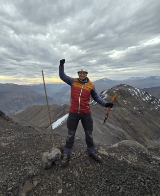
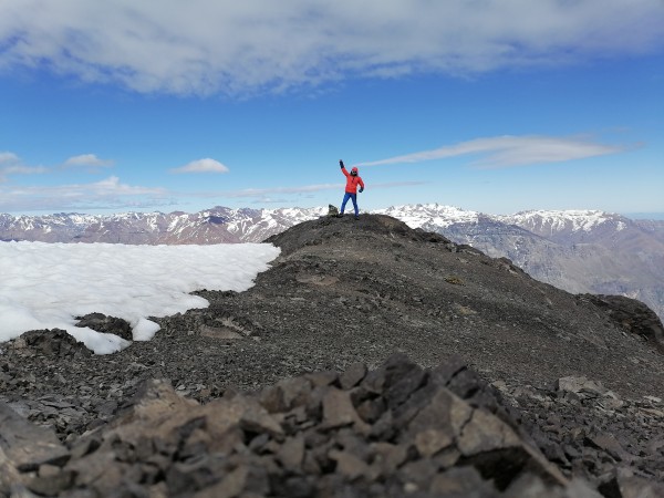
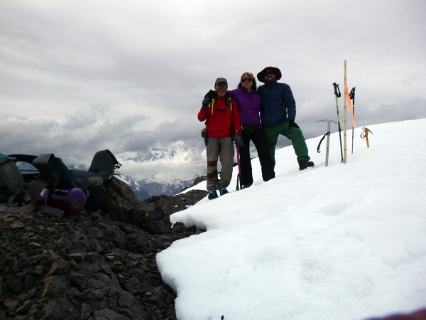 foto cumbre la cumbre no se deja ver hasta el final, pero el ir descubriendo la quebrada del yesillo y los colores de los cerros que la componen hacen al san simón un cerro muy interesante, ni hablar de la vista en la cumbre, sin duda un cerro que merece ser conocido.
Libro de cumbre
Normal por el Yesillo
 sendero bien marcado hasta el portezuelo donde se ingresa a la quebrada del yesillo, de ahí en adelante comenzaba la nieve.
Estado de ruta
Normal por el Yesillo
 La ruta estaba buena hacia el CB nos demoramos 6hrs app con harto acarreo al principio en el ataque a cumbre nos demoramos 4 horas, la nieve estaba blanda pero se pudo abrir huella
Estado de ruta
Normal por el Yesillo
 Muy lindo cerro, con vistas hermosas de los cerros de la zona, tales como: Retumbaderos, Arenas, El Morado, Meson Alto, San José, Marmolejo.....
Libro de cumbre
Normal por el Yesillo
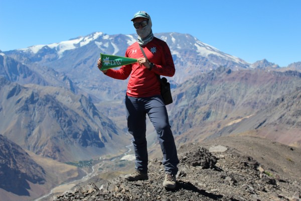
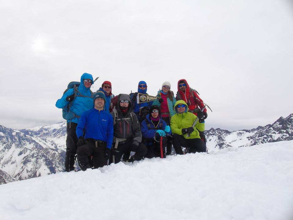
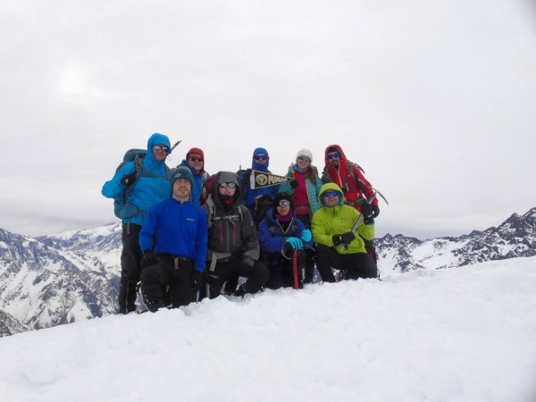 foto de cumbre con el club leones de montaña Estuvo muy entretenido el cerrro tenia buenos desniveles antes de la cumbre, es un cerro un poco olvidado pero merece ser visitado.
Libro de cumbre
Normal por el Yesillo
 La ruta es muy clara, tal como está descrita. Hay agua en un par de quebradas y al lado del plateau, donde se recomienda establecer el CB. Nieve desde el CB hacia arriba.
Estado de ruta
Normal por el Yesillo
 Se pensaba dejar las cumbres para el segundo día, pero dado que se llegó temprano, se hizo la cumbre de esta junto a El Salto el primer día.
Libro de cumbre
Normal por el Yesillo


