Summary
General Information
Las Cuevas
Country: Chile
Region: Región de Arica y Parinacota
Area: Parque Nacional Lauca
Nearest city: Putre
Number of journeys: 1
Total distance: 1,2km
Trail Markings: Frecuente y clara
Trail: Claro y marcado
Route type: Circuito
Termas
Fauna
Flora
Arqueología / Historia
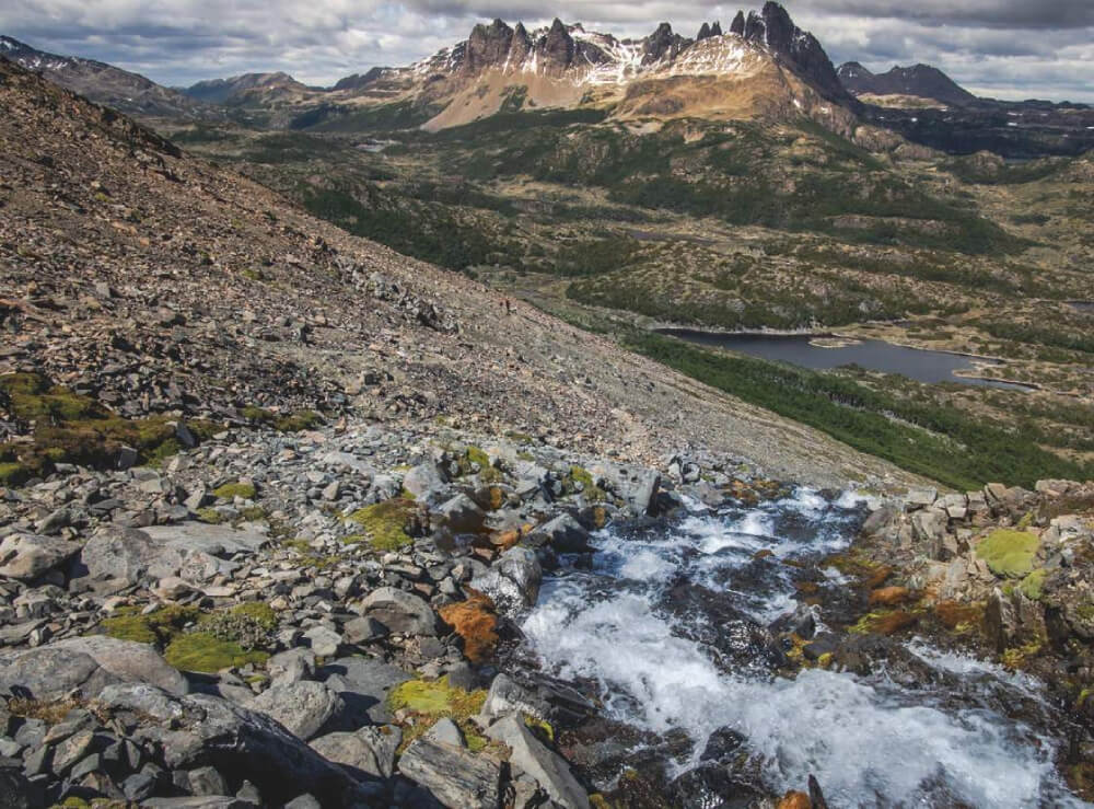
Panorámicas / Paisaje
Señal de celular
Apto para niños menores de 10 años
Difficulty:
I did it

Hiking routes
LAS CUEVAS
Parque Nacional Lauca
Author: David Valdés
Introduction
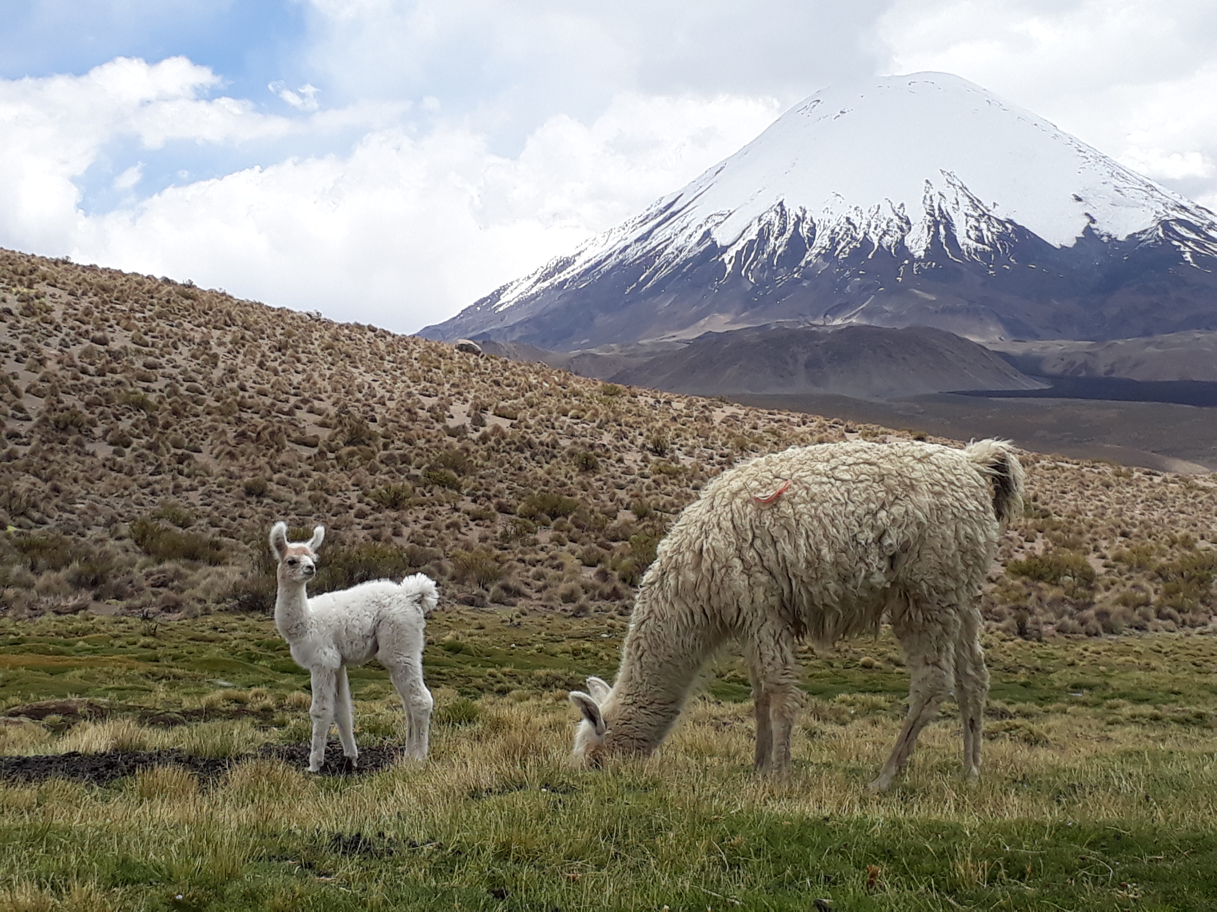
Las Cuevas (the Caves in English) is a simple route located within the Parque Nacional Lauca. This protected area was created in 1970, and was later declared by the UN as a Biosphere Reserve in 1981. The route is also called Chañacaca, and is famous for the rocky formations it passes which are located in the middle of a wetland rich in native flora and fauna. In some areas you can see vestiges of ancient settlements used by hunters in the pre-Hispanic period (between 7000 and 9000 years ago). These rocks were consequently used as a rest stop for groups of travellers and shepherds who were journeying to and from the coast to exchange their goods.
Today, this area is home to native animals such as vizcacha, vicuña, rodents, yellow-billed teal, Andean gull and Andean fox, whilst the local flora include specimens of queñoa, llareta, paja brava and chachacoma.
Appropriate season
All year round, especially during May and December to avoid the Bolivian or Altiplanico winter, as this period can be very rainy and unstable. It is important to note that in winter, although the climate is more stable, it is much colder so it is recommended to take warm clothing.
Access
The last settlement is Putre (see here how to get to Putre). From Putre (0km) follow the highway CH-11 (paved) heading east towards Lago Chungará and Bolivia. When you have driven approx. 18km from Putre, you will enter the sector of Las Cuevas. This part of the Parque Nacional Lauca is easy to spot as there are signposts of the southern (right) side of the road, and there is a car park and basic facilities.
See the route from Putre to Las Cuevas in Google Maps.
Permits / Prices
There is no entrance fee or permit.
Accommodation / Facilities
None.
Recommendations
- Take care when crossing the highway.
- Do not drink the water from the wetland.
- The path is at more than 4300m altitude. If you have ascended very quickly from Arica you may suffer from altitude sickness. It is better to spend a night in Putre and drink lots of water to acclimatise better.
- Take a swimsuit with you, as it is free to bathe in the thermal springs.
- Conaf are not permanently in attendance in the area. You may find that the entrance post and the bathrooms are closed.
- There is no gas station in Putre. Even though one tank of gas is more than enough to go there and back, if you wish to go to other parts of the altiplano, it is better to take extra gas in a jerry can.
Gear
- Trekking boots or high-ankle boots.
- Wink breaker, sun hat and sun glasses.
- Sun protection.
- Swim suit
- Water, at least 1 litre per person
Schedule
- Putre – Las Cuevas – Putre


Comments
Las Cuevas
Patricio Vergara Garcia 06/02/2017
Punto alcanzado: .
Fecha expedición: 05/02/2017
Ahora, verano 2017,estan haciendo trabajos en la carretera con cortes y con horarios, averiguar bien horarios. En los lugares de parada por trabajo,adelantar la fila enorme de camiones bolivianos (se puede) son muy pocos los sutos particulares de turistas.

La caminata en si vale la pena, muy facil ver li das viscachas.

Un poco mas adelante lago chungara
David Valdés 07/01/2016
Punto alcanzado: sendero
Fecha expedición: 30/08/2015
Es un sendero corto,vale la pena detenerse para recorrerlo. Es posible observar una población numerosa de vizcachas y probar las termas (gratis) que hay. Muy recomendado para hacerlo con niños o personas de tercera edad.

I did it!