
Summary
General Information
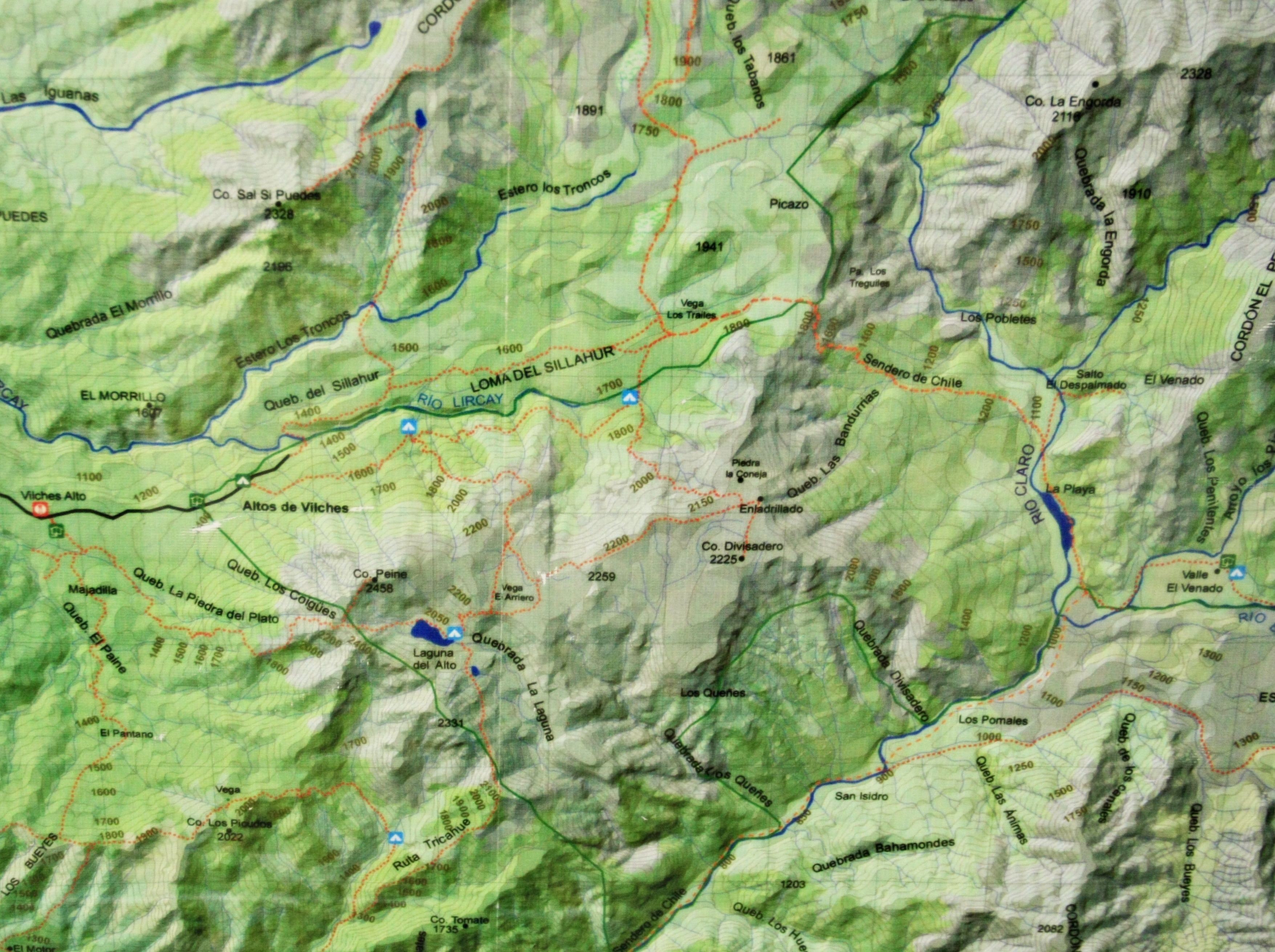
Reserva Nacional Altos de Lircay
Mirador del Venado
Country: Chile
Region: Región del Maule
Area: Reserva Nacional Altos de Lircay
Nearest city: Talca
Number of journeys: 1
Total distance: 11,7km (sólo ida)
Trail Markings: Frecuente y clara
Trail: Claro y marcado
Route type: Ida y vuelta
Fauna
Bosques
Flora
Panorámicas / Paisaje
Graduations (10)

I did it
Hiking routes
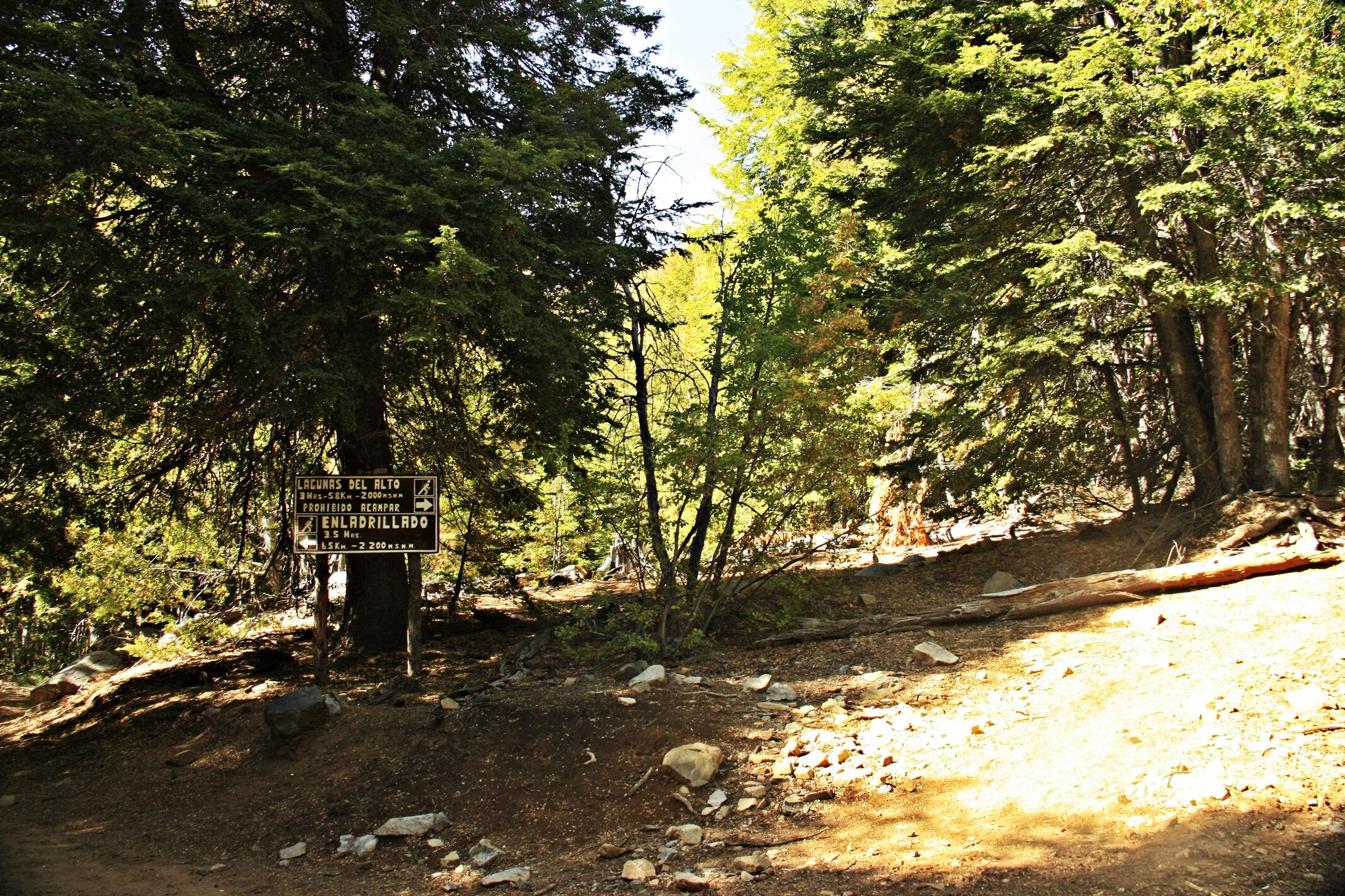
MIRADOR DEL VENADO
Reserva Nacional Altos de Lircay
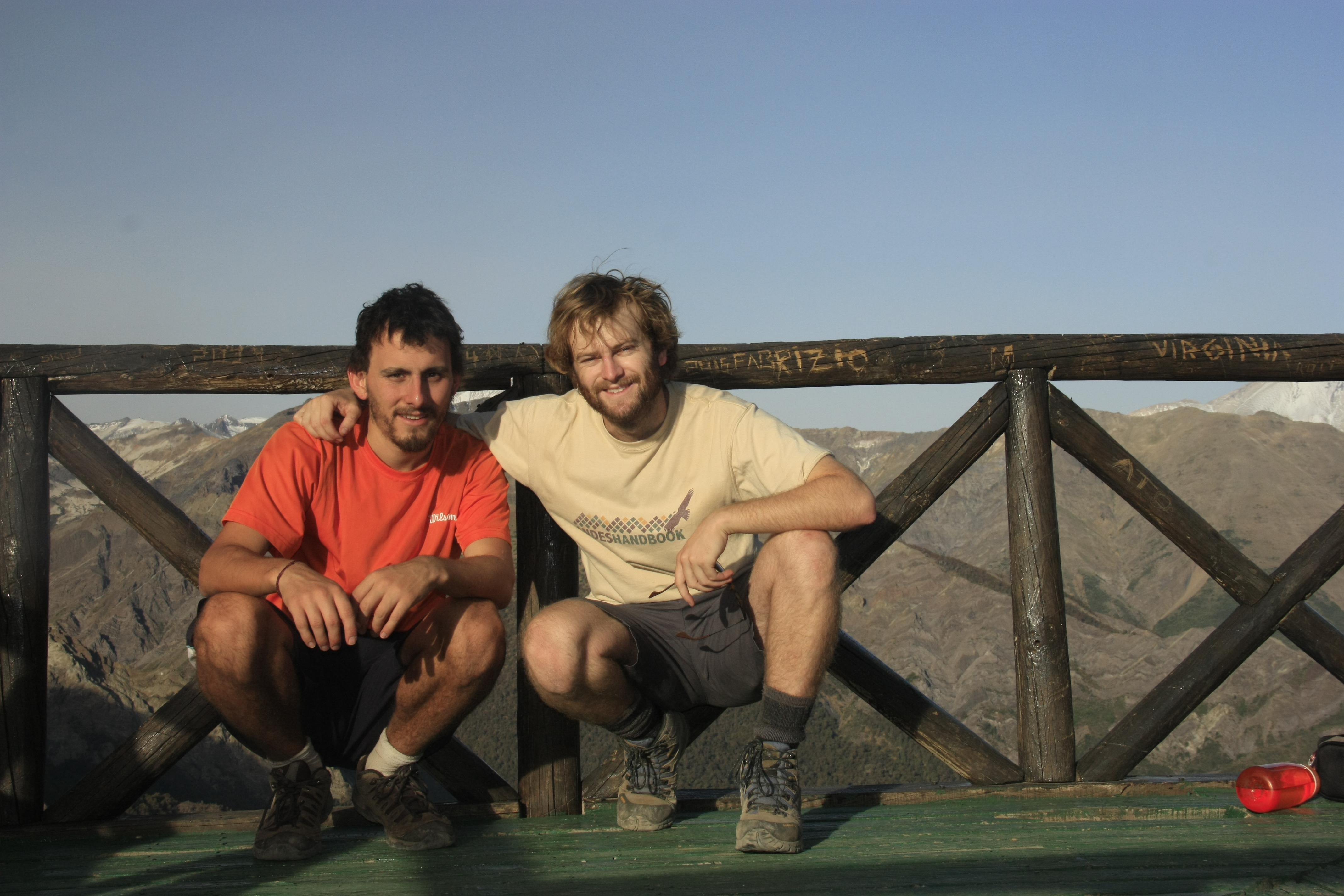
Author: José Mena
Introduction
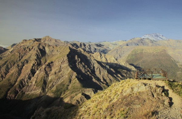
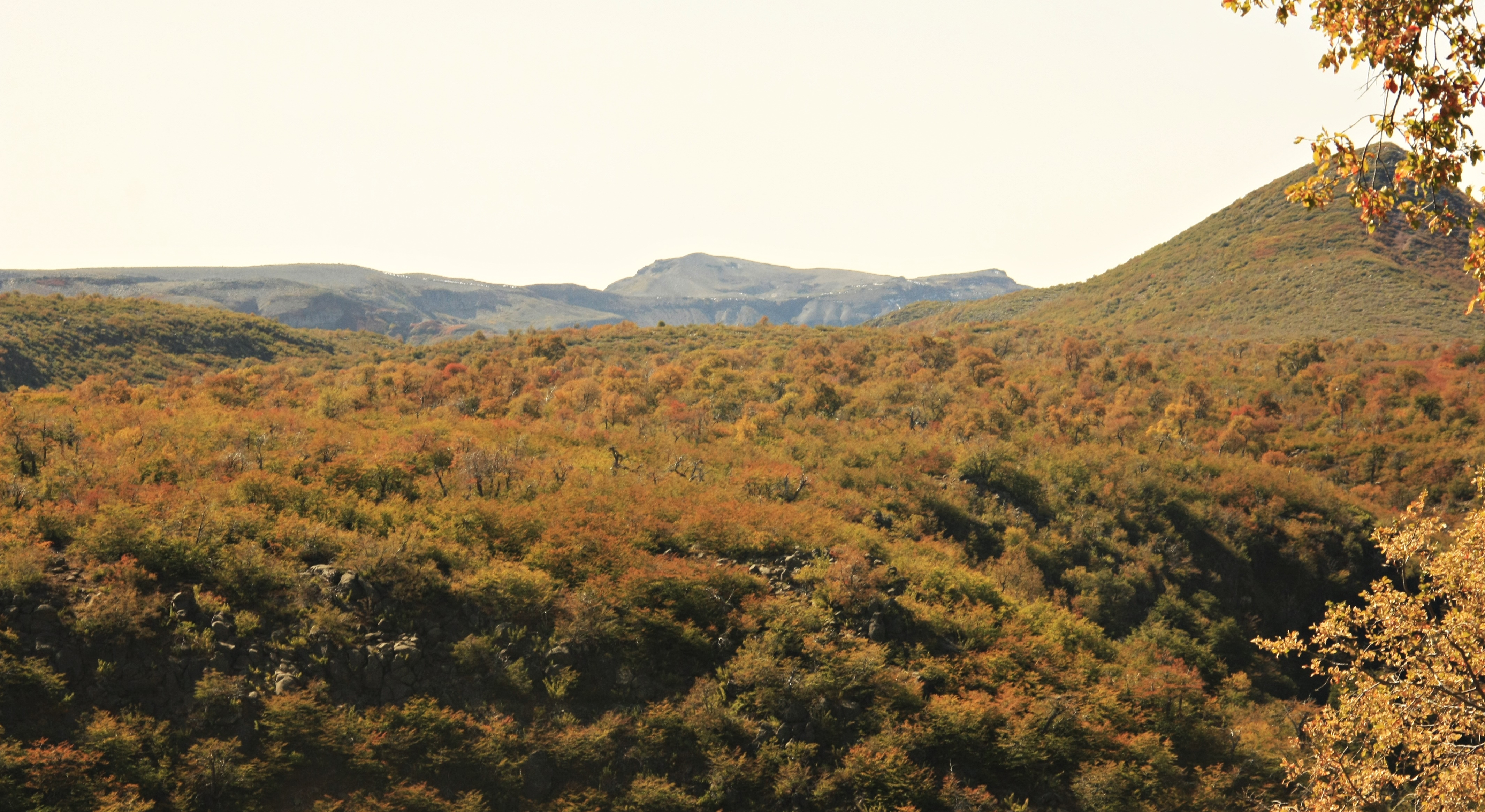
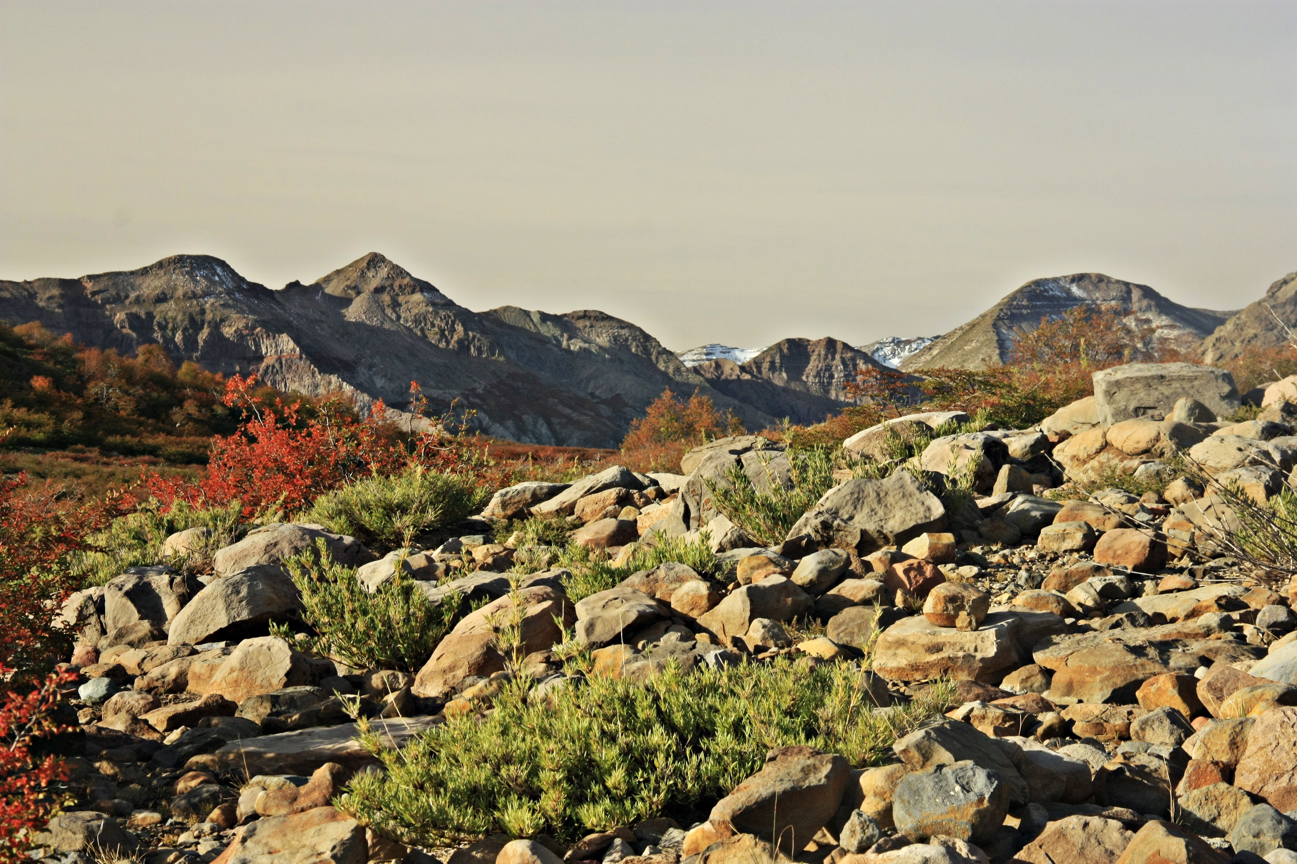
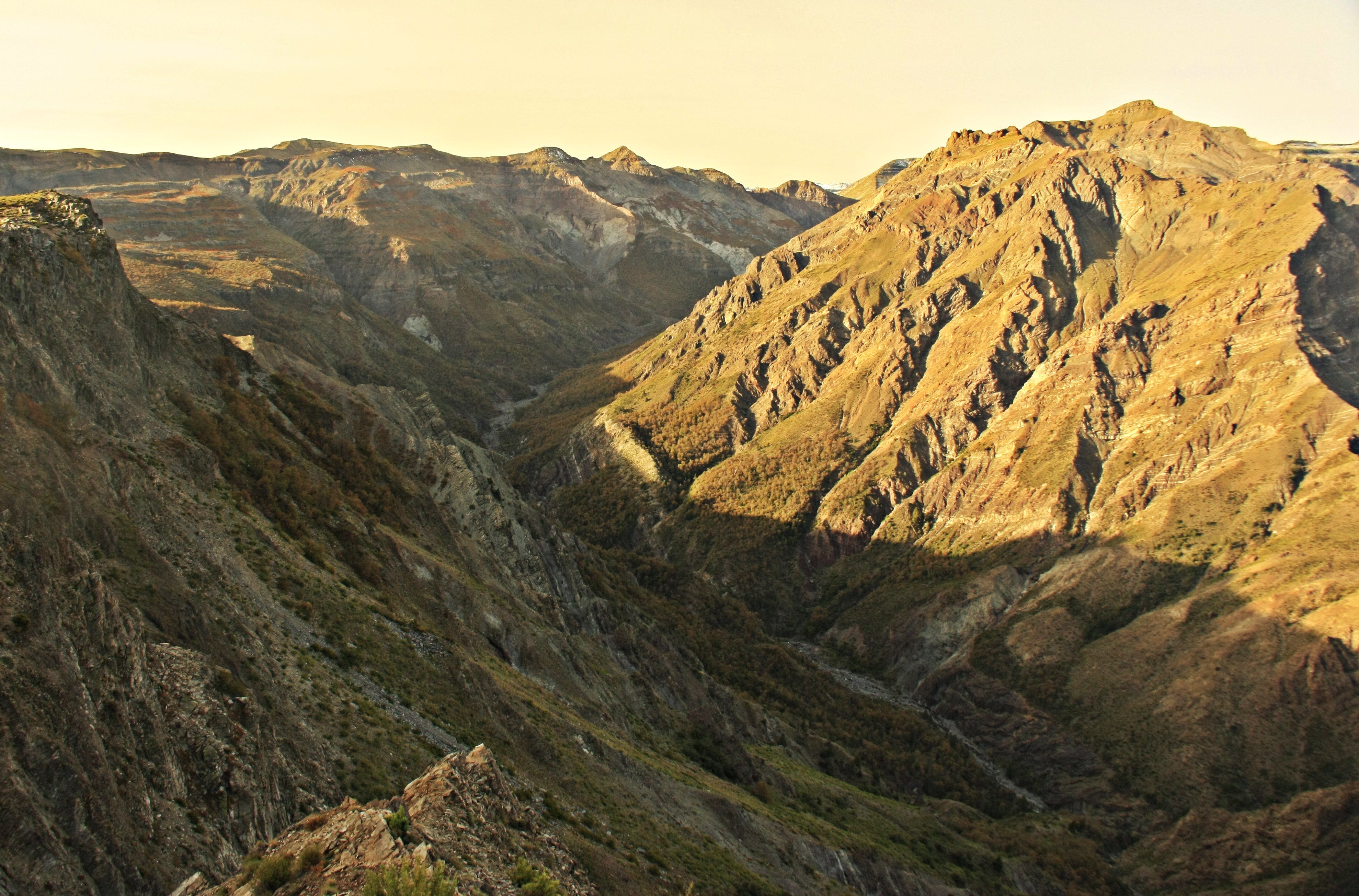
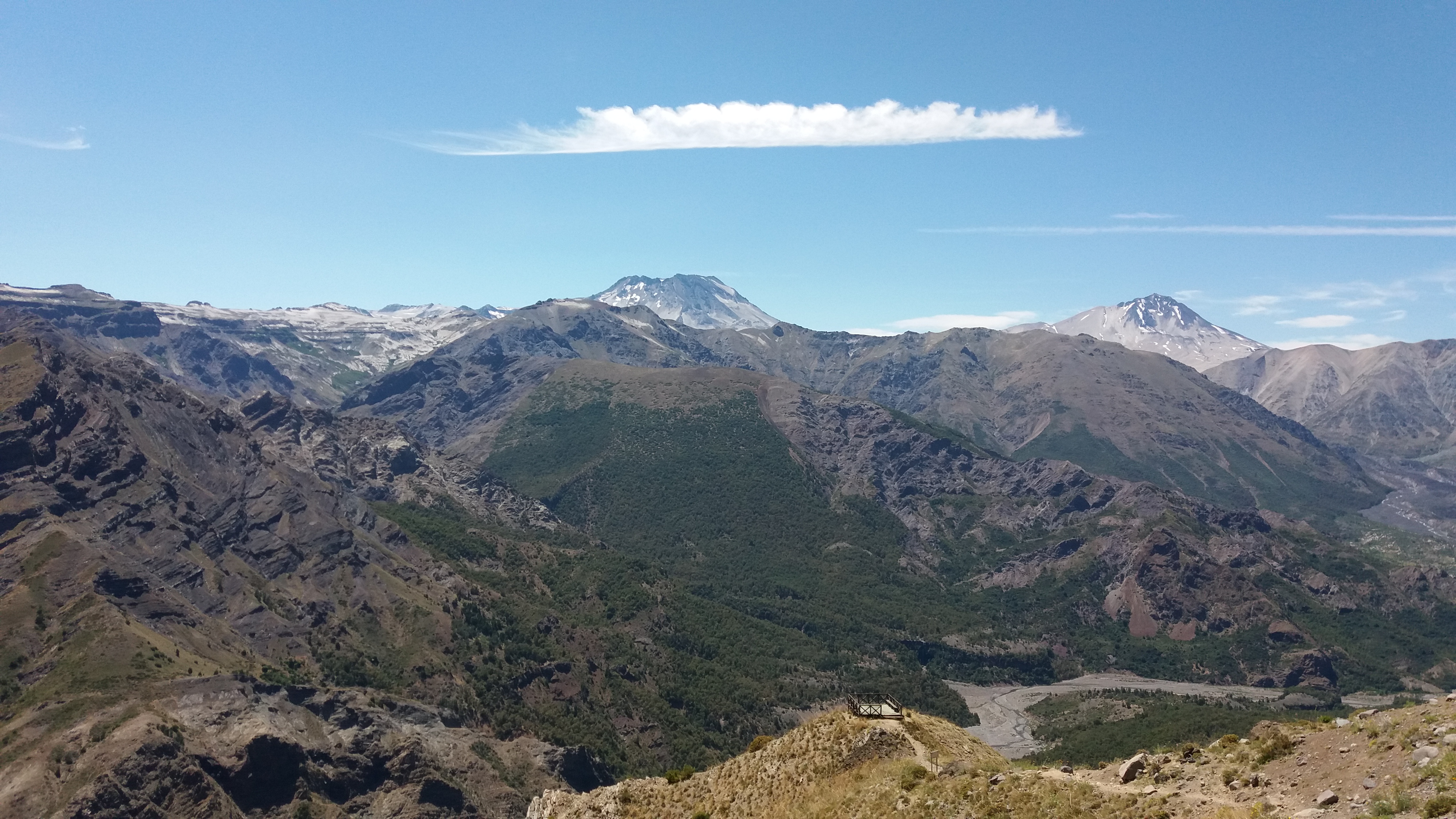
The trail that leads to the viewpoint Mirador del Venado is a must for those visiting the Reserva Nacional Altos de Lircay – quite literally in the fact that most of the sites of interest in the reserve can only be accessed via this route. Furthermore, the trail leads to the two best campsite within the reserve. However, it is also a must in the sense that you wouldn’t want to miss the beautiful route which takes you to one of the most privileged viewpoints of the valley through which flows the river Río Claro some 800m below the feet of visitors to the reserve – this being the Mirador del Venado.
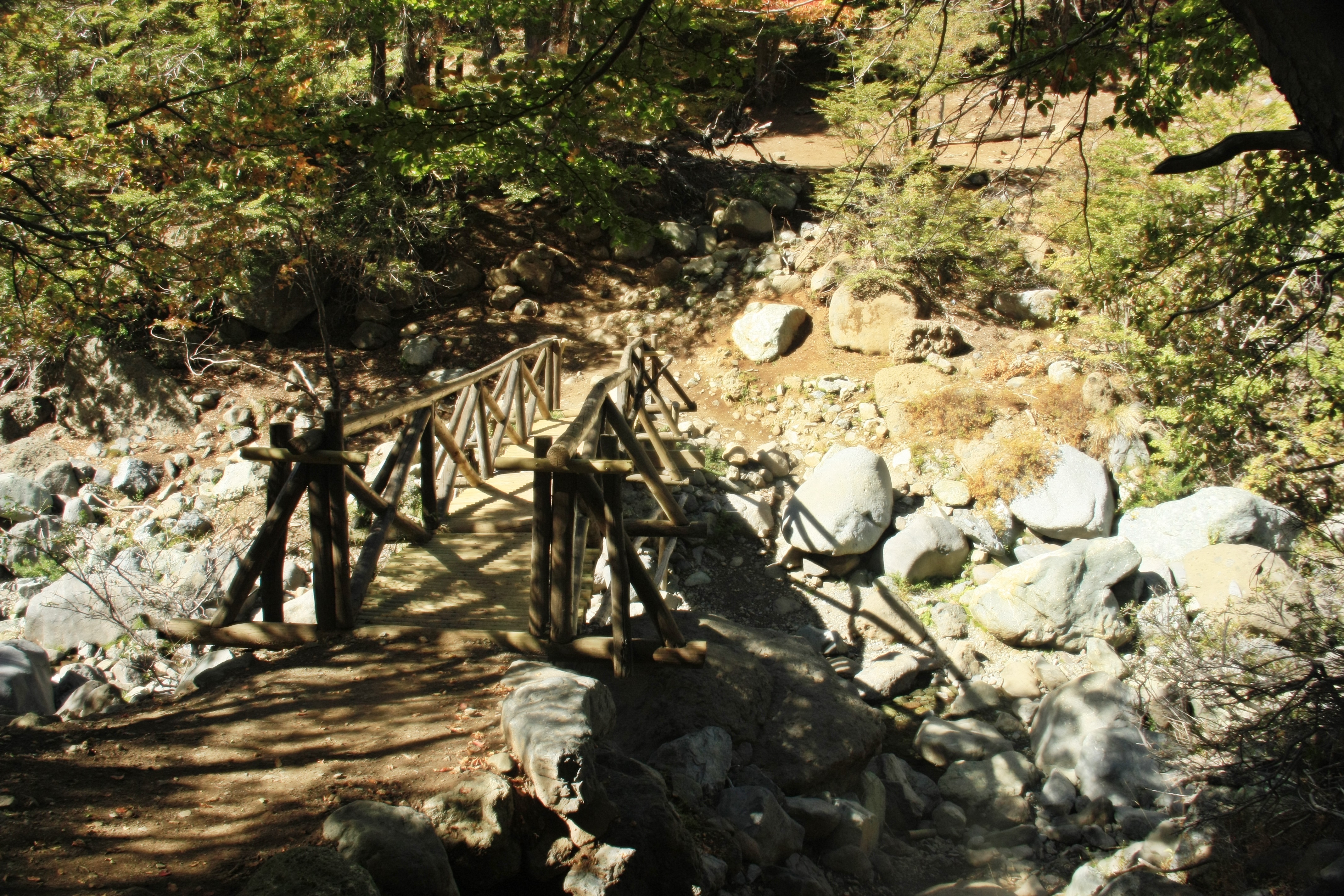
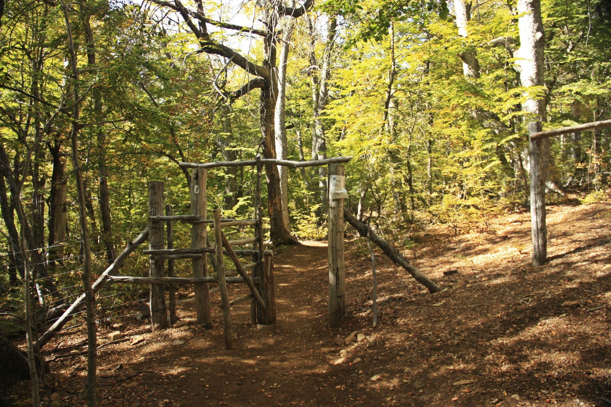
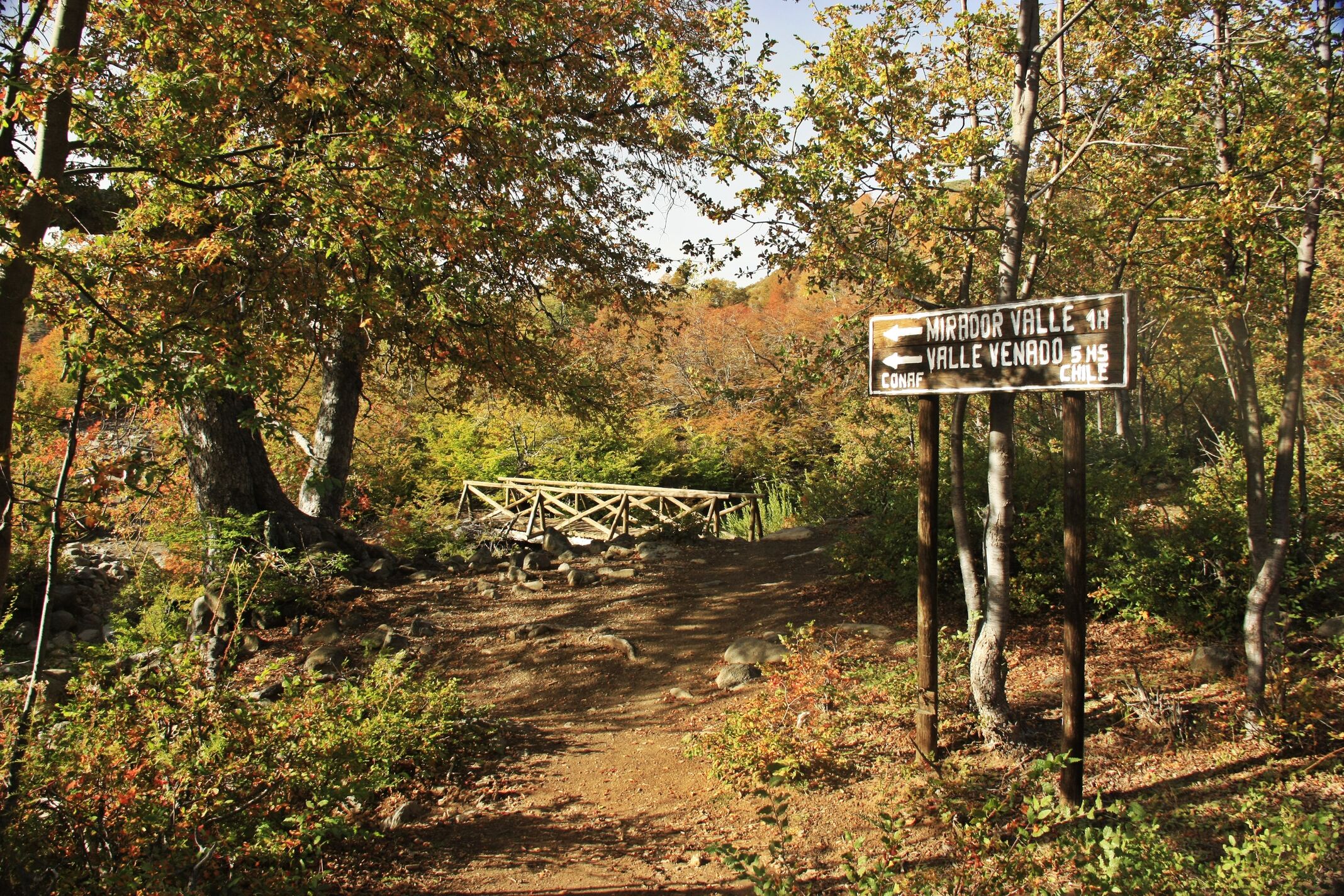
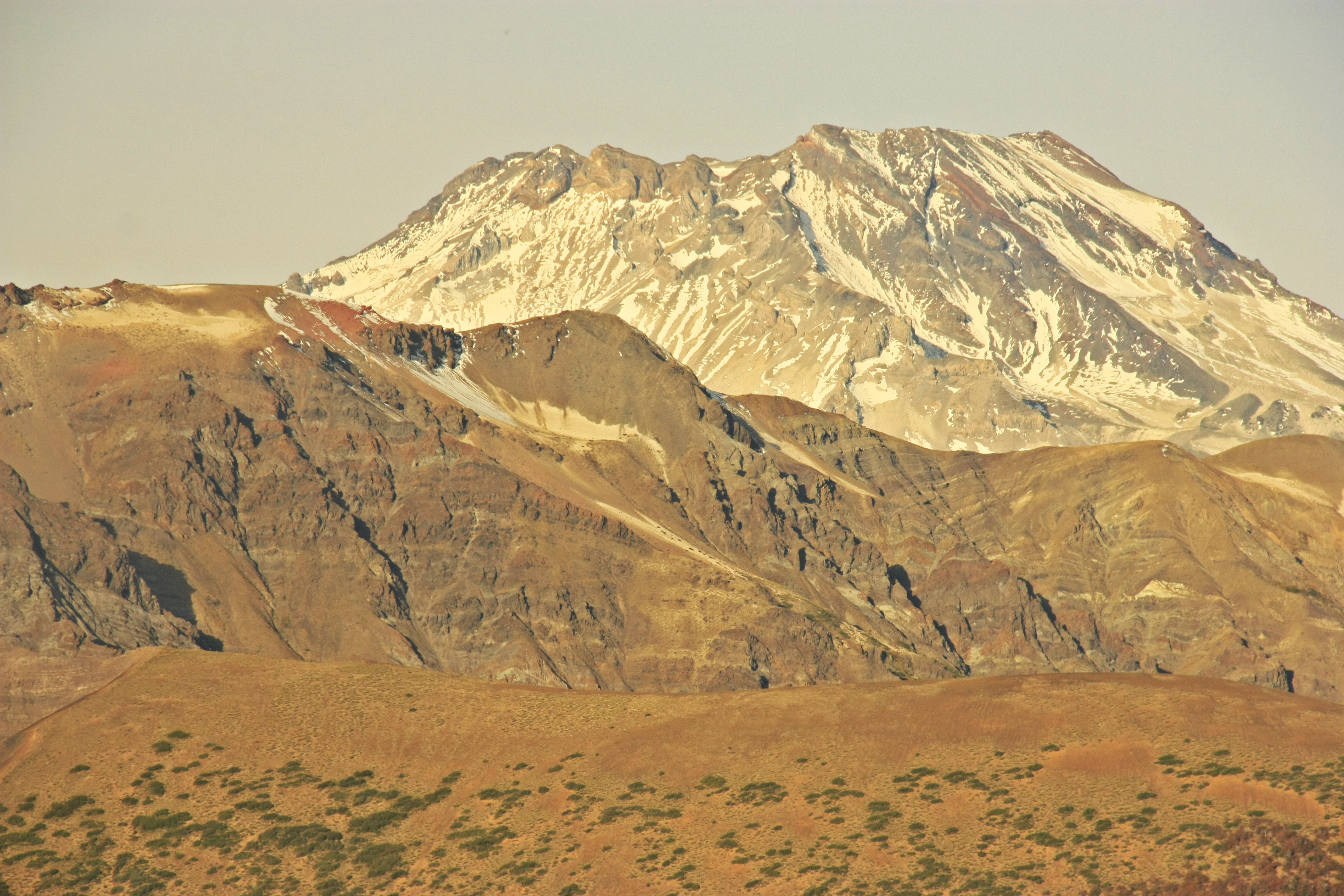
This route is made up of gentle changes in altitude and leads through a wonderful forest typical of the Maule region of Chile; in autumn the trees acquire incredible reddish tones which are famous throughout the country. The path remains wide and clearly marked and leads into the valley Valle del Río Lircay and crosses the slopes of Cerro Peine. When you come to the end of the route, the view that you are faced with will make you want to carry on through the valley below you (a separate excursion, which is possible with due planning). You could descend towards the base of the valley from here and explore much more isolated areas within the reserve via the paths leading towards the foot of the zone’s resident giant: the volcano Descabezado Grande.
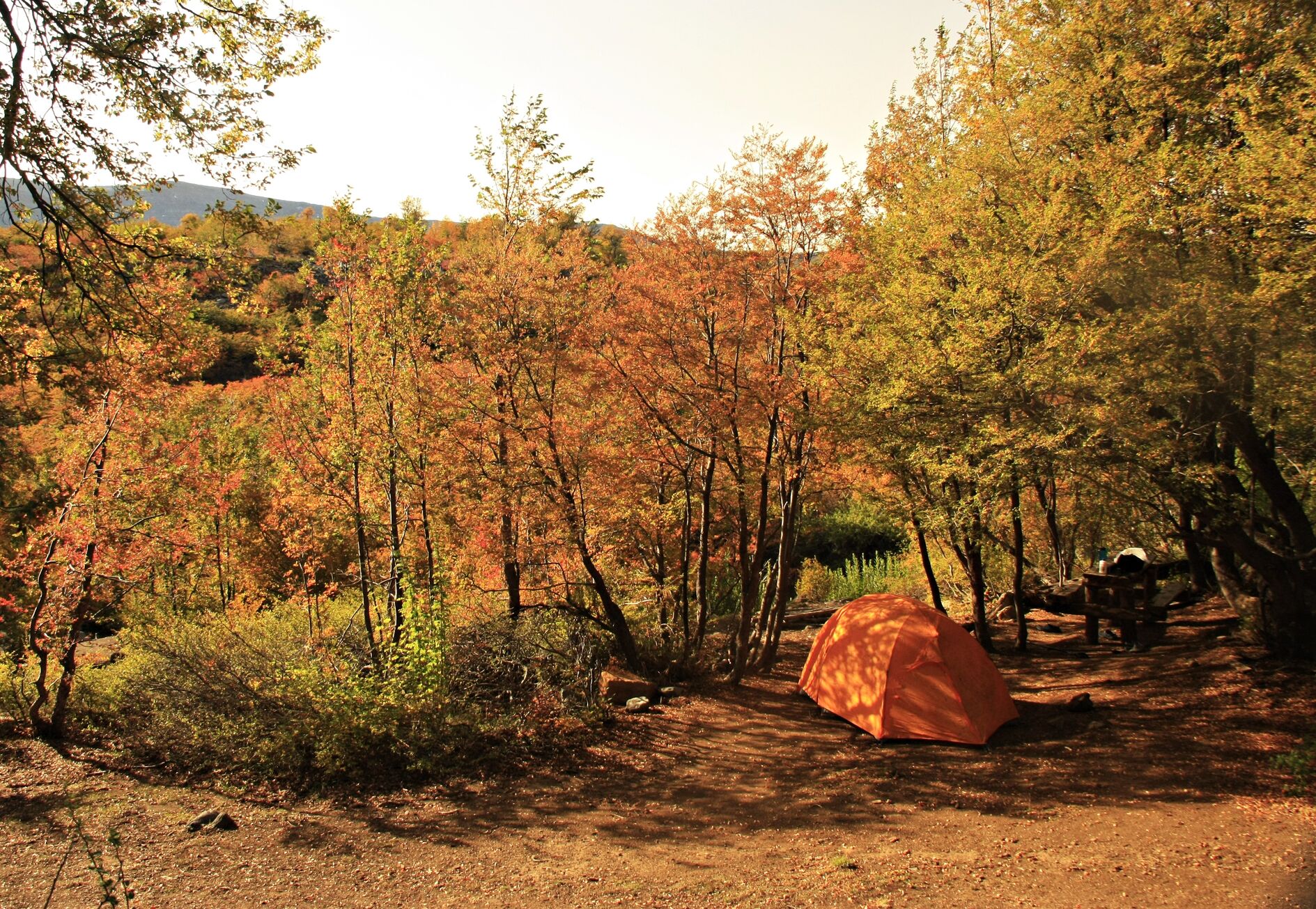
The trail is 10km in distance one way, and even though it is possible to complete it in one day, it is worth planning to stay a night or two in the reserve and use the extra time in the park to visit other routes. This is what the majority of visitors do, as it is makes each day’s walking a little less strenuous and gives you more time to enough the area.
Reserva Nacional Altos de Lircay
Located 66km to the east of Talca in the Maule region of Chile, this reserve makes up the largest protected area in the region, with a size of 16,684 hectares. There are camping areas and an interesting net of paths, including traverses leading to the neighbouring reserve Radal Siete Tazas. Given its great beauty and proximity to multiple cities, Altos de Lircay receives a large number of guests all year round.
Appropriate season
Spring, summer and autumn. At the end of autumn the forest is at its most colourful with beautiful reddish tones, which makes the scenery even more enchanting (depending on the climate conditions each year, this can be from the middle to the end of May). During summer make sure to take enough water with you.
In winter, the snow can make trekking and other activities difficult within the reserve.
Access
Talca – Reserva Nacional Altos de Lircay (Vilches)
Private Transport
From the commune of Talca (see here how to get to Talca), follow the road to San Clemente (route 115 or the international route to Argentina via Paso Pehuenche). After approx. 36km from Talca you will come to a signposted turning to the left (east) which leads to Vilches. The road is asphalt at the start and towards the end it is gravelled. You will pass through various sectors including Vilches Bajo, Salto del León, and finally you will arrive at Vilches Alto (approx. 26km). Here there is a gate which is open from 8:00 to 17:30, and then it is chained shut until the following day. Go through the gate and continue along the road for another 2km until you come to the Centro de Información Ambiental Conaf (Conaf Environmental Information Centre). Only 4x4 vehicles can drive the last 2km; if you do not have a 4x4 vehicle you can park just before the gate. It will take approx. 1h-1½h from Talca.
Public Transport
From the bus terminal in Talca there are daily and regular buses to the village of Vilches Alto. The times of the buses are constantly changing, so call beforehand on (71) 2243270. The cost of the bus ticket is CLP$1600 (approx. USD$2.50) per person. The bus journey takes 2h and leaves you approx. 3km from the Centro de Información Ambiental Conaf.
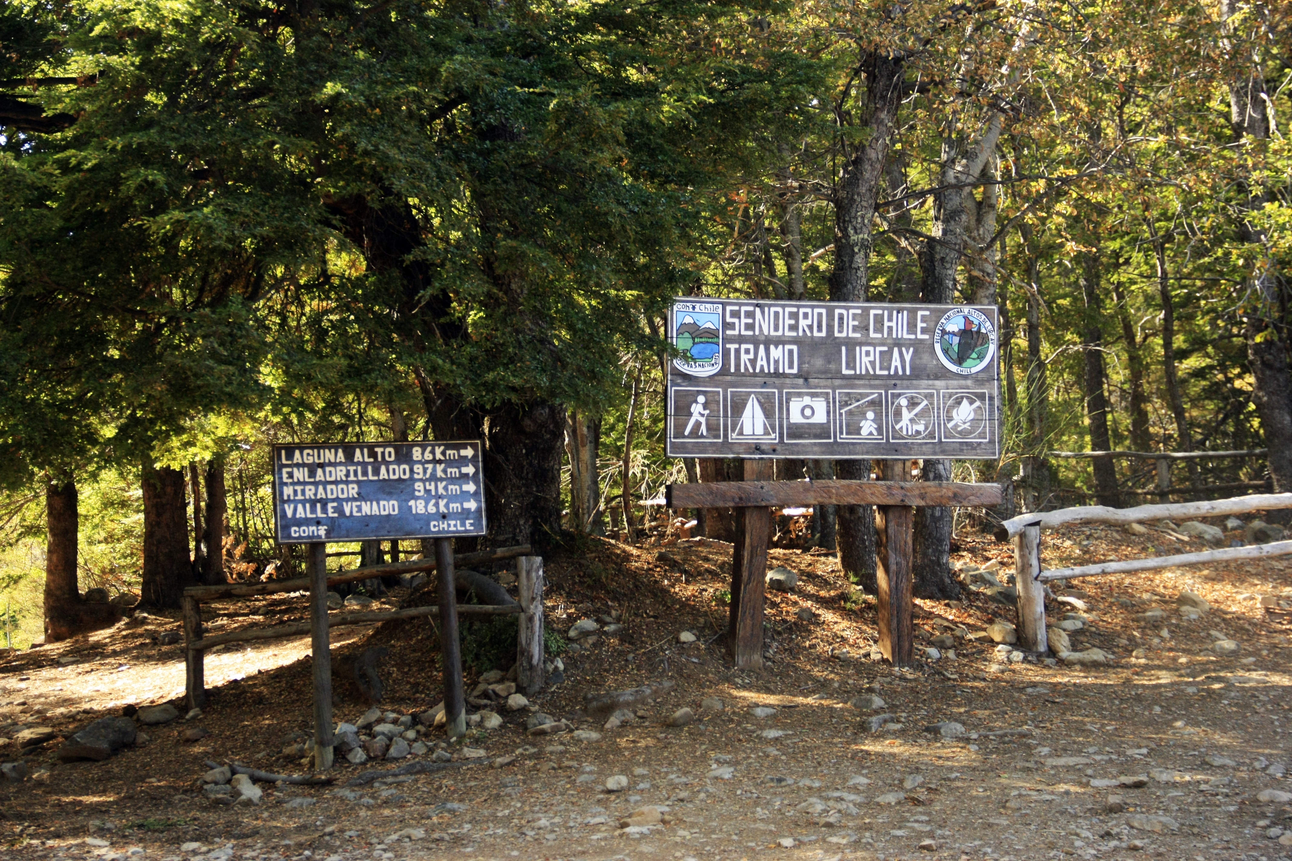
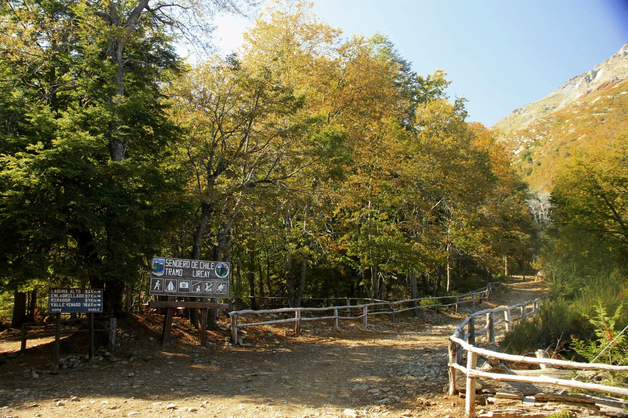
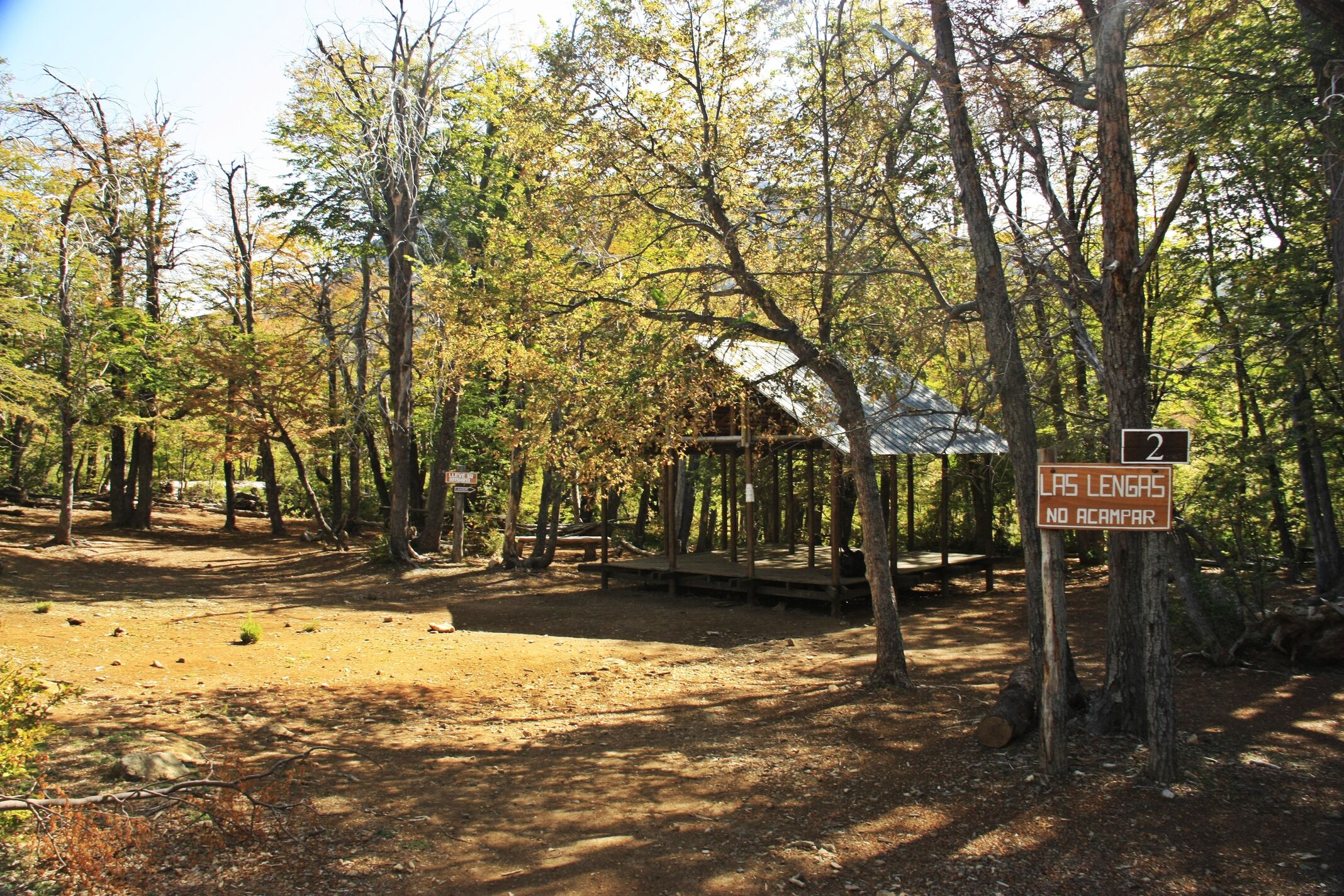
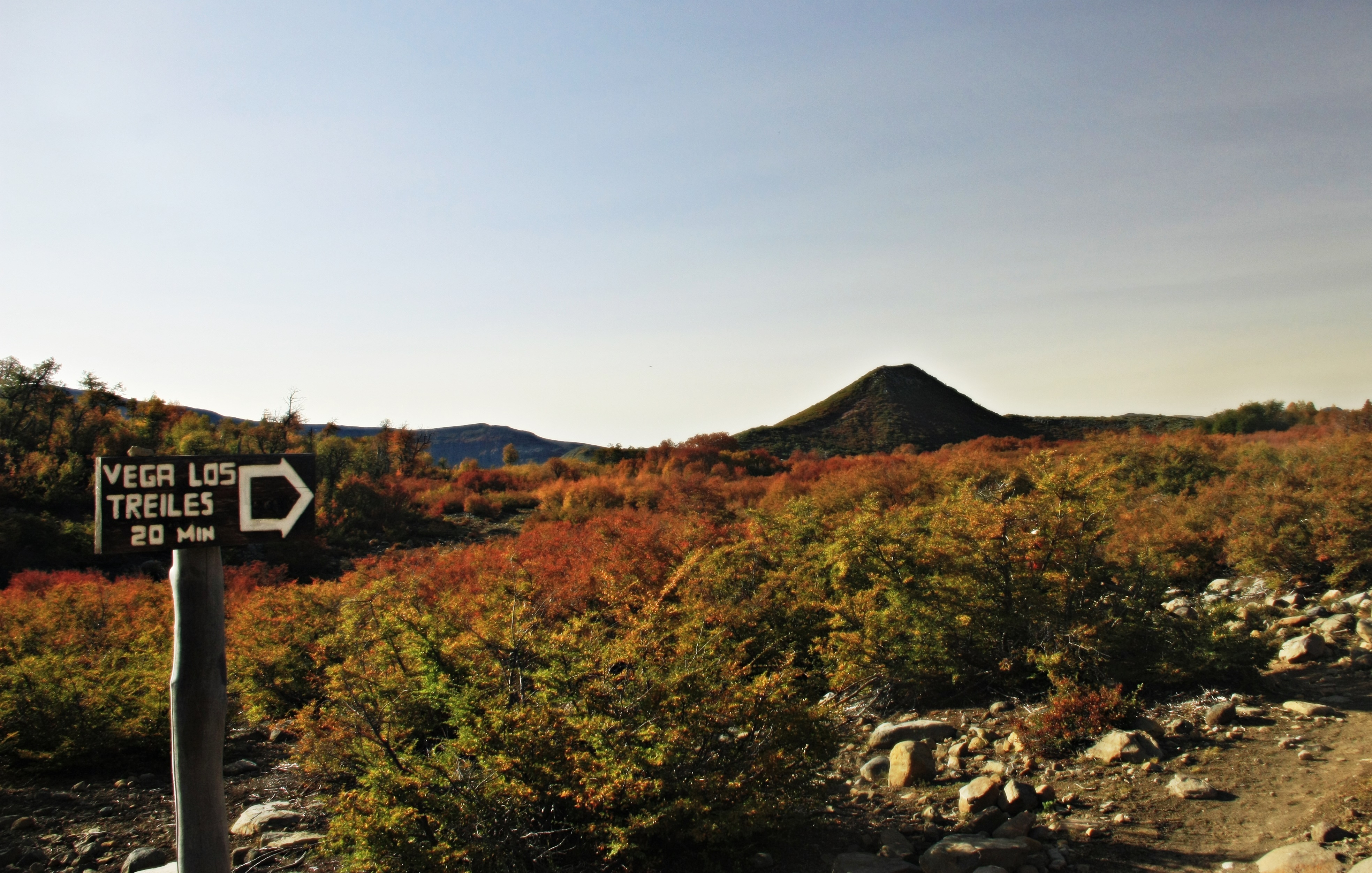
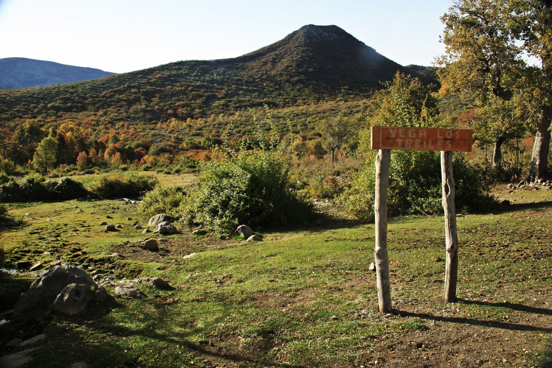
Some 100m before the administration, there is a sign marking the entrance to the Reserva Nacional Altos de Lircay See photo 1. At the administration centre you will need to register your entry to the park and pay the entrance fee.
Permits / Prices
Entrance fees to the Reserva Nacional Altos de Lircay
Daily cost:
- Chilean adult CLP$2500 (approx. US$5)
- Chilean senior citizen (over 60 years old) CLP$1200 (approx. USD$2.50)
- Foreign adult and foreign senior citizens CLP$5000 (approx. US$10)
- Disabled adult CLP$1200 (approx. USD$2.50)
- Chilean child under 6 years old free
- Chilean child CLP$1000 (approx. US$2)
- Foreign child CLP$2500 (approx. US$5)
- Disabled child free
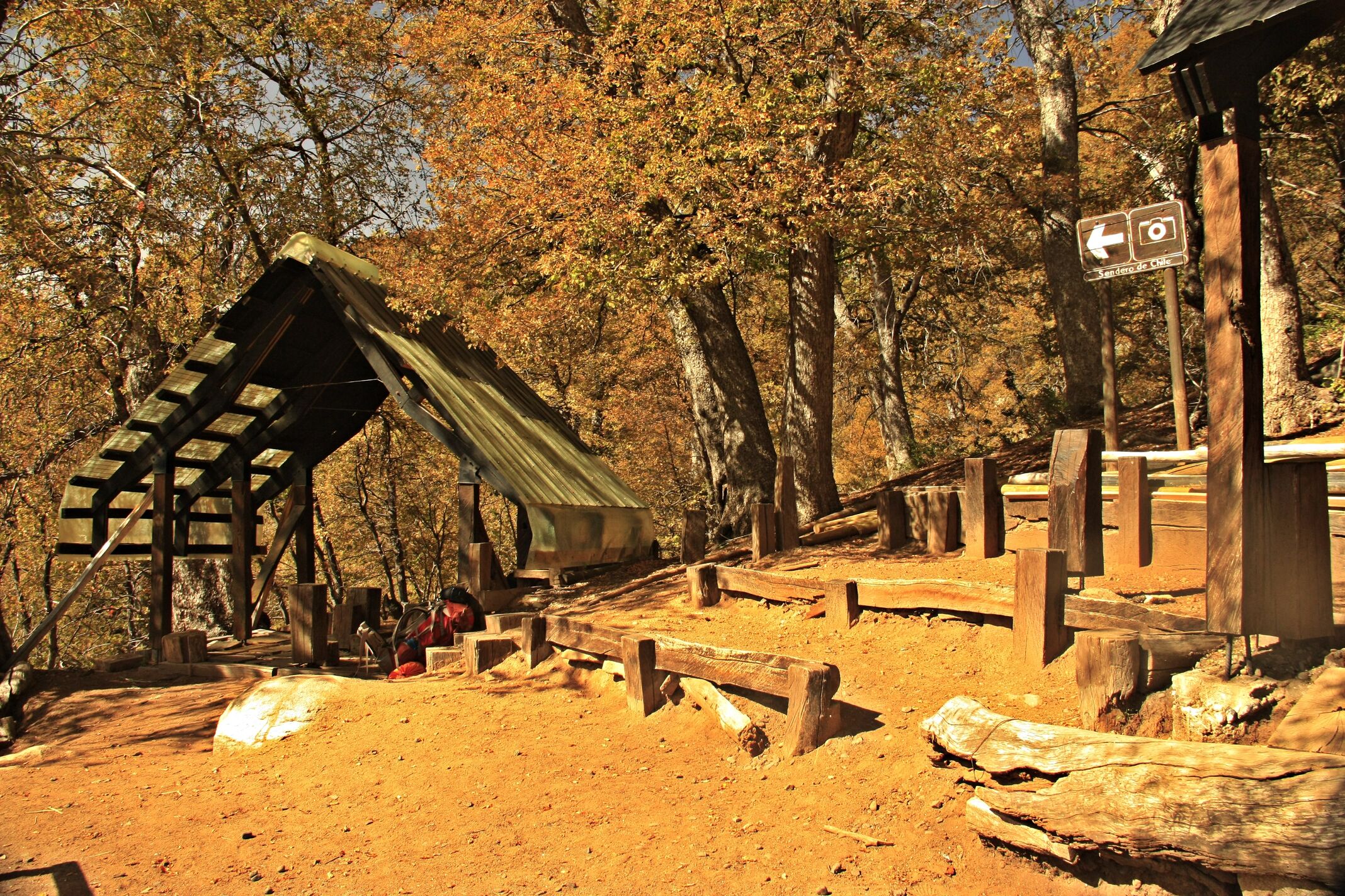
Accommodation / Facilities
In the Reserva Nacional Altos de Lircay there is an Information Centre, paths, facilities for disabled visitors and picnic areas. There are also various campsites in the reserve, with Antahuara being the best for those who wish to visit the Mirador del Venado.
Recommendations
- The reserve is a natural area of great beauty and a range of scenery, it is worth staying for longer and visiting the other trails.
- There are various points where you can obtain water during the route. However, it is recommended that you take at least 1 litre per person with you.
Gear
- Trekking boots or high-ankle boots.
- Trekking poles
- 2 litre bottle of water
If you wish to camp, take all necessary camping equipment with you. It is important to remember that it is prohibited to light fires in the reserve hence at the entrance you will need to show that you have a stove with you
Schedule
Normal Itinerary
- Vilches - Mirador del Venado - Vilches
Alternative Itinerary
- Vilches - Campsite - Mirador del Venado – Campsite
- Campsite - Vilches
Recommended if you want to visit other areas in the reserve.


Comments
Mirador del Venado
Nicolás Berríos 18/04/2024
Other excursionists: Jorge Chacón
Punto alcanzado: Mirador
Fecha expedición: 23/01/2019
Bello mirador hacia el Valle Venado. En aquella ocasión continuamos bajando hasta la Cascada del Despalmado, lo que añadió hartos kilometros mas a la ruta y un buen desnivel al retorno =)
José Mena 11/01/2016
Punto alcanzado: Completa
Fecha expedición: 24/04/2015
Fue la primera ruta que hicimos en una visita a la Reserva, una caminata bonita. Recomiendo que se haga de esa manera, como un buen aperitivo a un plato de fondo espectacular, que bien puede ser el Enladrillado, la Laguna del Alto o una incursión al Valle del Venado.
Tracks and Waypoints
Mirador del Venado
Mirador Valle Venado
Aportado por: José Mena
Fecha: 11/01/2016
I did it!