

Summary
General Information
Valle del Avilés
Country: Chile
Region: Región de Aysén
Area: Valle de Chacabuco
Nearest city: Cochrane
Number of journeys: 1
Total distance: 13,9km
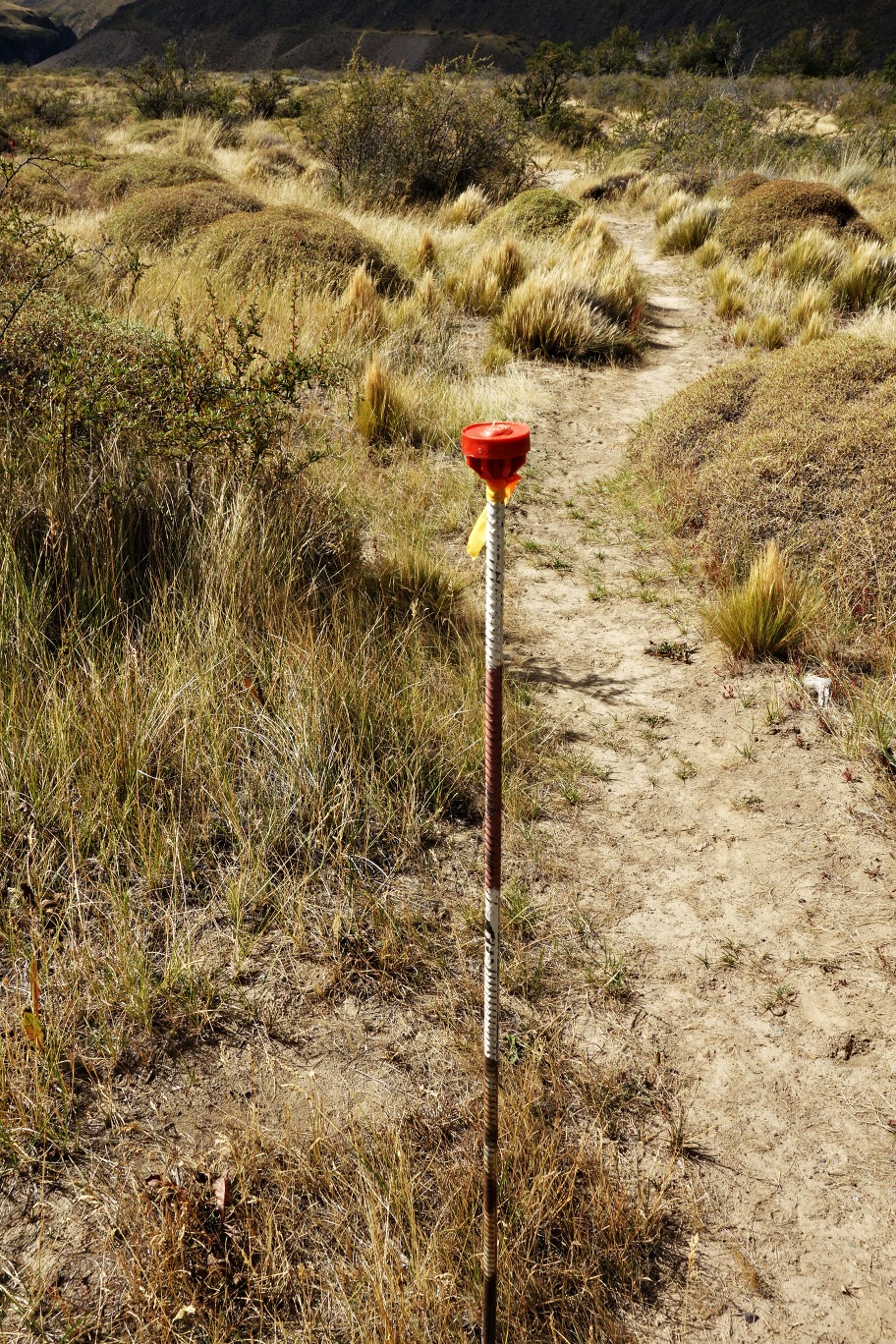
Trail Markings: Esporádica
Trail: Poco marcado y/o intermitente
Route type: Semicircuito
Fauna
Cascadas / Ríos
Panorámicas / Paisaje
Graduations (1)
I did it
Hiking routes
VALLE DEL AVILÉS
Valle de Chacabuco
Author: Joaquín Prado, José Mena
Introduction
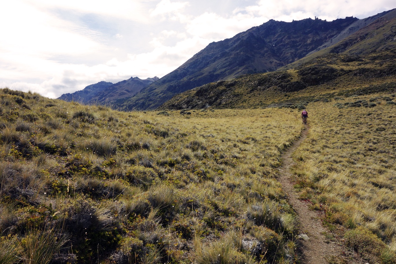
A path through the River Avilés Valley
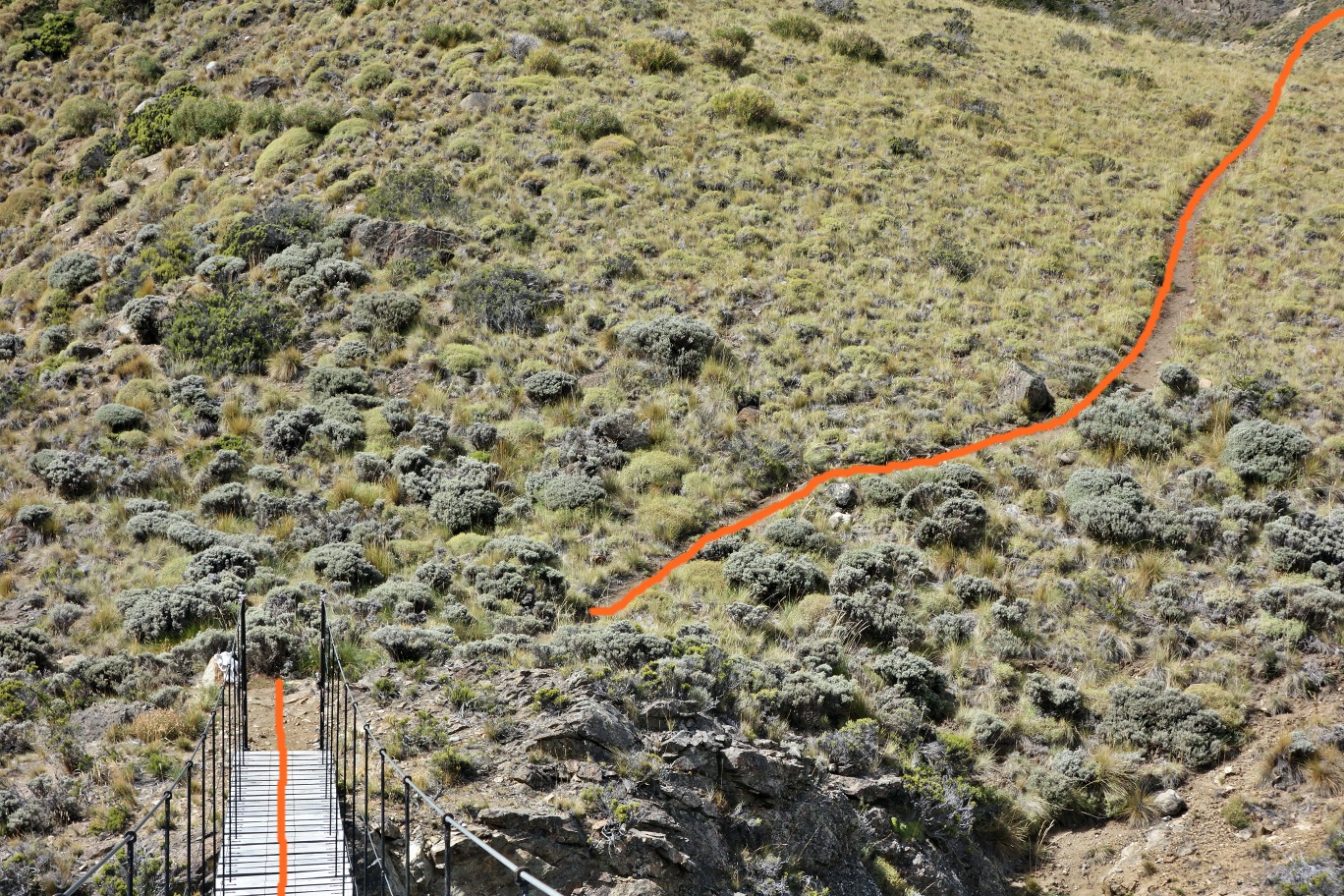
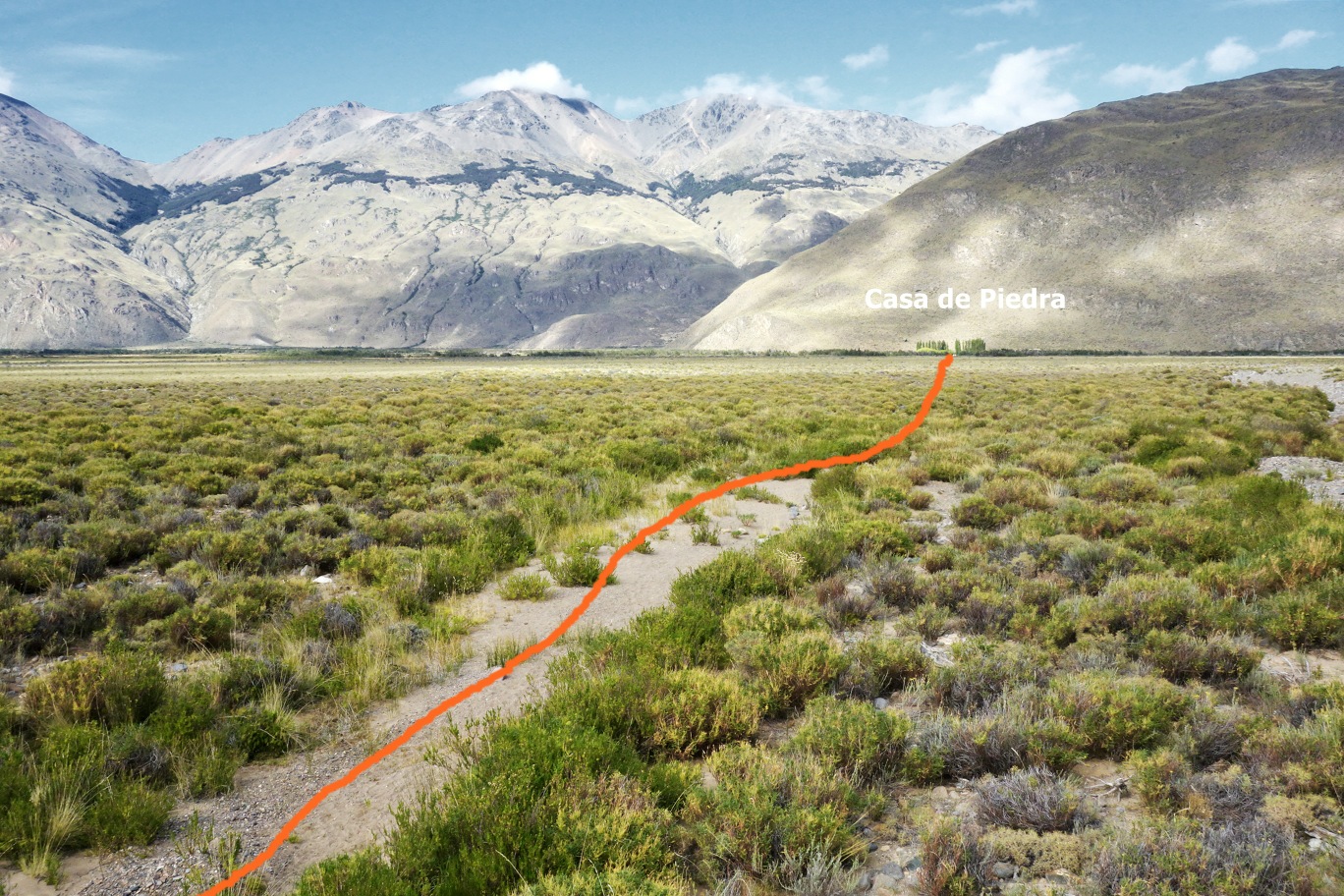
The route that leads through the River Avilés Valley is a straightforward semi-circuit. It can be found in the Casa de Piedra sector of the private Parque Patagonia reserve. Even though this route is relatively long (approx. 14km), the change in altitude is moderate (approx. 400m) and the path is in excellent condition and well signposted, and hence can be completed by people with a wide range of abilities.
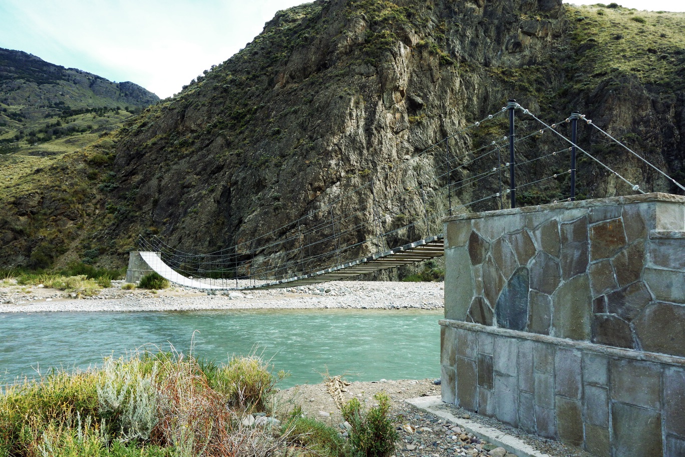
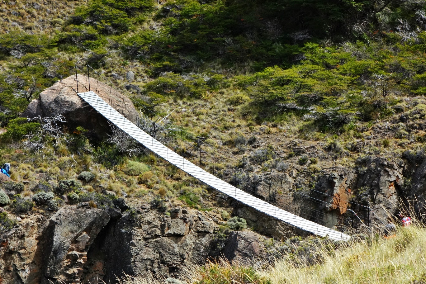
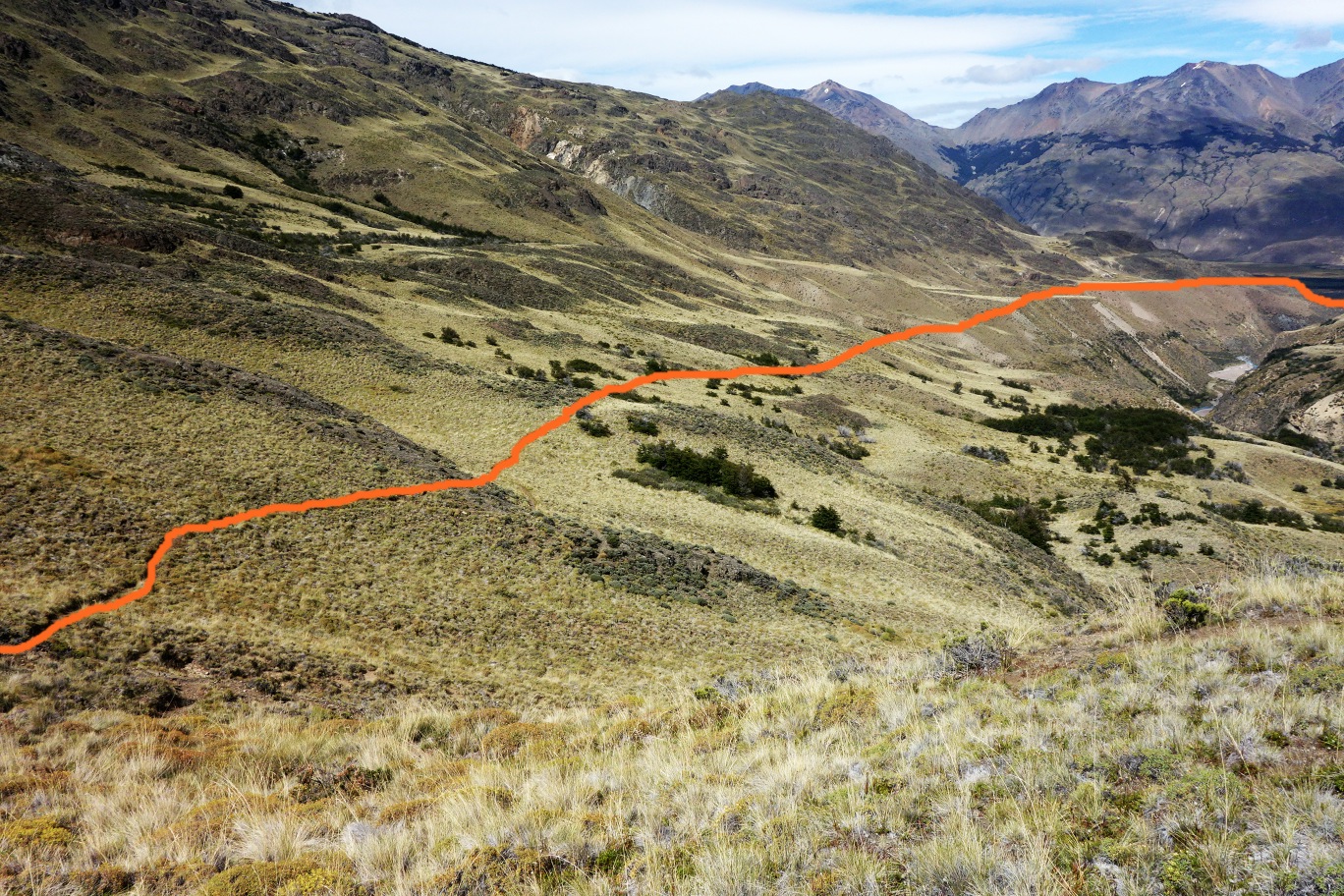
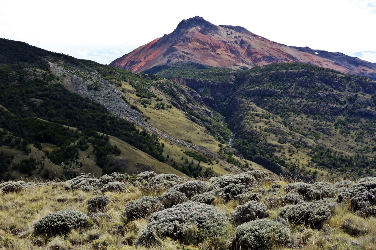
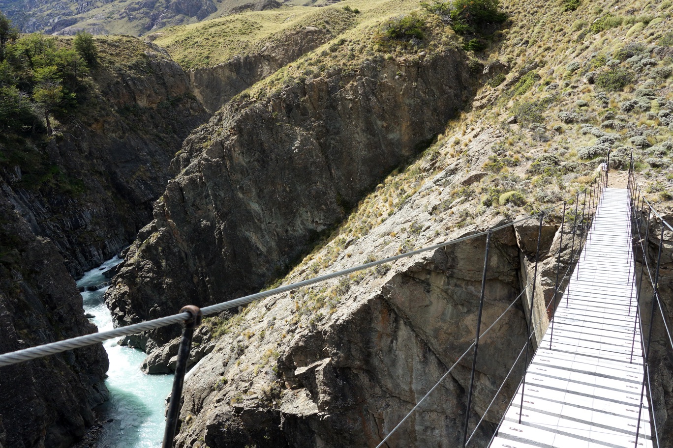
The route can be completed in half a day and goes deep into the remote and rural valley. The path leads up a few short slopes which are pleasantly interspersed by tranquil walks through meadows, with the colourful mountain Cerro Pintura looking on as you hike, as well as countless guanacos! About halfway through the route the path crosses an impressive canyon by way of a rickety – but safe – hanging footbridge. The experience of being suspended in the air 40m above the raging waters of the River Avilés without a doubt adds a sense of adventure to the hike.
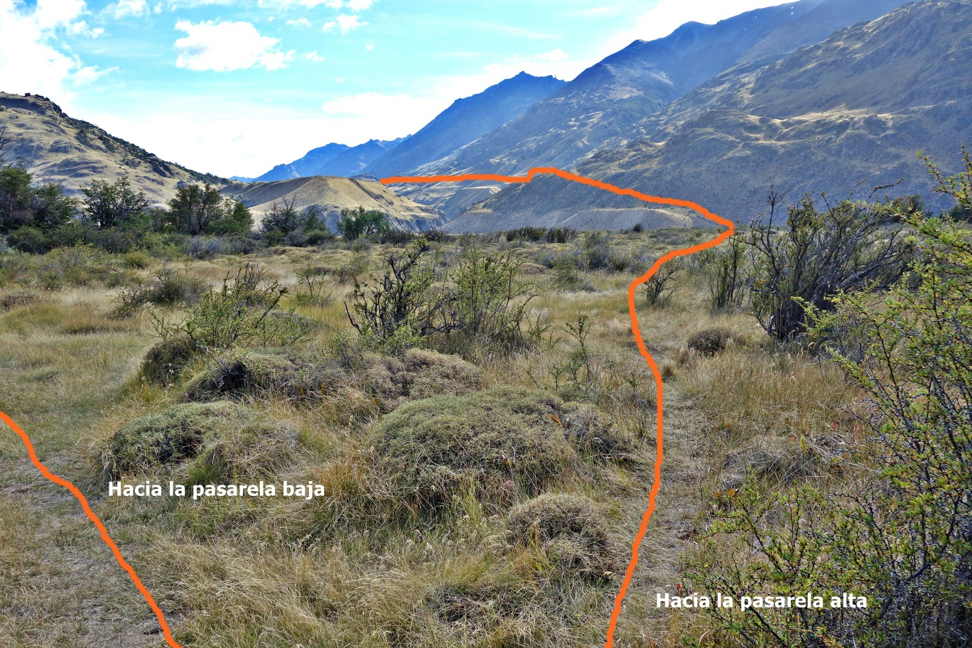
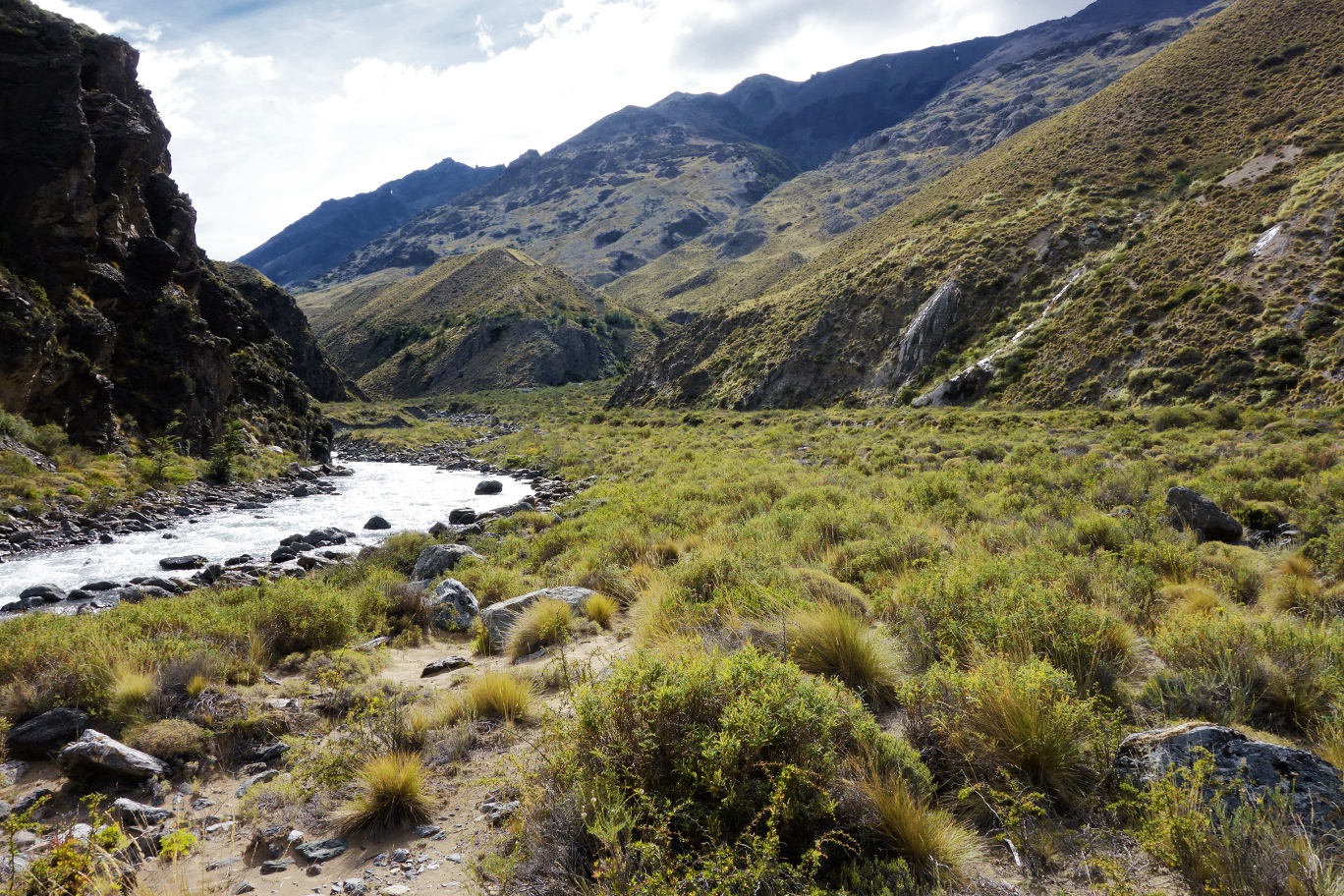
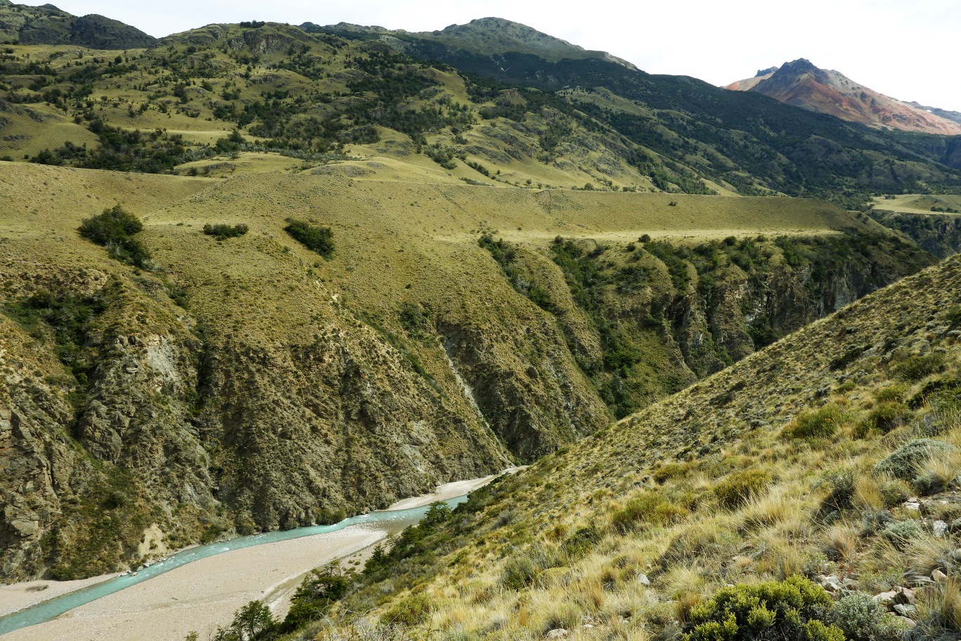
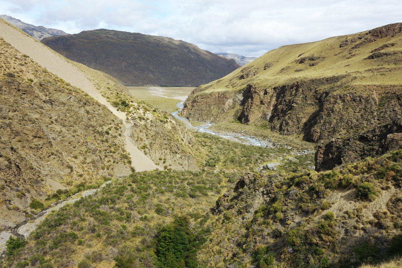
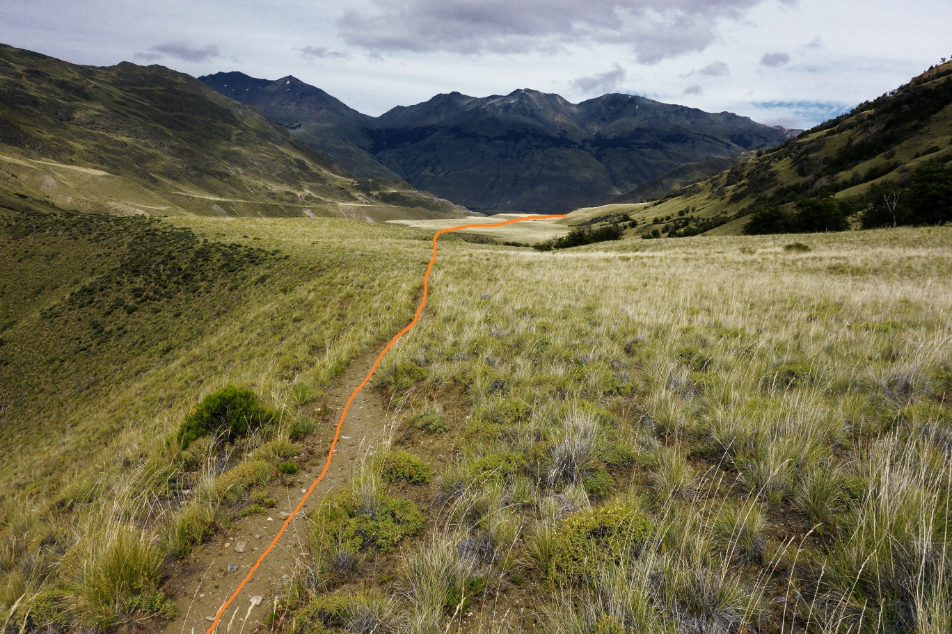
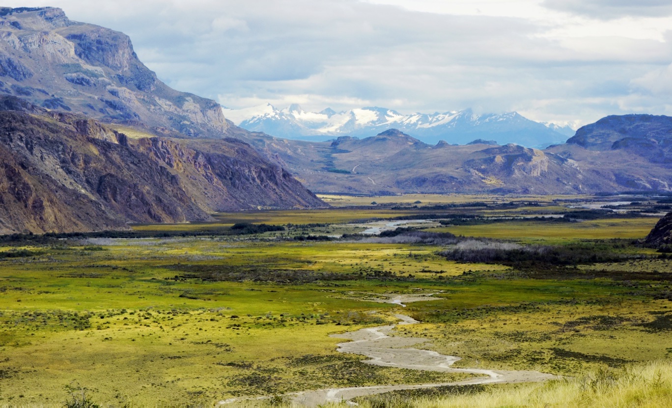
The return route to Casa de Piedra can be completed on the opposite (western) bank of the River Avilés, which will ensure that you have a complete panoramic view of the valley. And finally as the path climbs up through the valley, you will receive some spectacular views of the distant Chacabuco Valley for your efforts.
The future Parque National Patagonia
The Parque Patagonia is a project developed by the foundation Conservación Patagónica, an organisation headed by the North American conservationist Kristine Tompkins, which aims to protect and conserve the delicate ecosystems of this sector of Chilean Patagonia. In 2004 Conservación Patagónica bought what was previously the Estancia Chacabuco, a great 75,000 hectare ranch property of the Belgian Francisco de Smet, which for many decades was used for livestock. From the moment that it was bought, a great amount of work has gone into making it a suitable area for conservation. This involves taking down many kilometres of fencing; expelling tens of thousands of sheep; and creating other conditions that will help the repopulation of the native fauna of the area (pumas, huemules, guanacos and flamingos, among other species).
There is currently a project that the Parque Patagonia has given over to the Chilean State, and it plans to unite the National Reserves Jeinimini in the north with Tamango in the south, creating on great unspoilt and protected area 263,000 hectares in size which will be named the Parque Nacional Patagonia. Regardless of that this project achieves in the short or long term, the Parque Patagonia is a reserve that without a doubt is worth visiting, as besides the Lagunas Altas circuit there are other excellent routes to complete, as well as going deep into the Chacabuco Valley is a must in the Aysén region.
Appropriate season
The park is open all year round. However, we recommend that you attempt this route between October and the end of April, as the rest of the year has bad weather and the condition of the Carretera Austral becomes unpredictable.
Access
The closest settlement to the park is Cochrane. See here how to get to Cochrane.
Approach from Cochrane
If you are travelling via private transport, you should take the Carretera Austral (route 7) nortwards and continue on from Cochrane for 18km along a gravel road until you reach a crossing with another gravel road (route X-83) which leads eastwards towards the Paso Internacional Roballos. Turn onto this dirt road which after 11km leads to the administrative centre of Parque Patagonia. From there the road leads on for a little more than 2km to the campsite Westwinds. The route starts some 250m before the campsite entrance. From Cochrane it takes around an hour by car. There is parking at the campsite as well as at the start of the route.
If you are planning to go via public transport, there are three bus companies in Cochrane: Interlagos, Acuario 13 and Don Carlos. In peak season the buses depart daily and leave from Cochrane between 8:00am and 9:00am towards the north. It is recommended that you reserve your seats in advance. You should tell the driver that you want to get off at the Entrada Baker Crossing. From there it is another 11km to the administrative centre, and you can either walk there or hitchhike. From the administrative centre to the campsite Westwinds it is another 2km walking, which will take around ½ hour.
To find out about prices, changes to bus timetables, etc. ask in the tourism office located in the Plaza de Armas (Main Square) in Cochrane.
Permits / Prices
It is not necessary to pay entrance fees or obtain permits to visit the park.
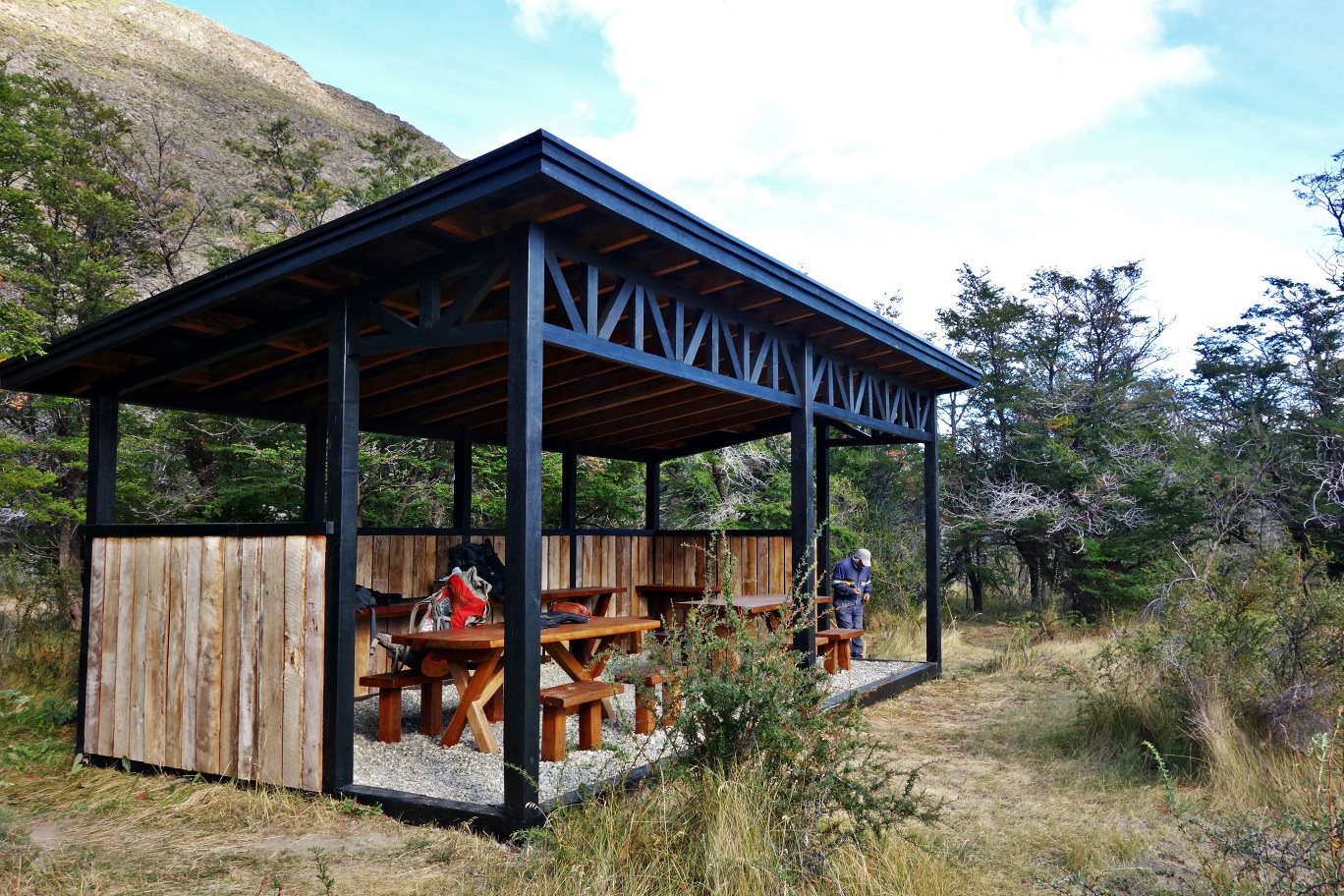
Accommodation / Facilities
The reserve Parque Patagonia has tourist services such as a restaurant, visitors’ centre, excursion guides and a magnificent lodge to stay in.
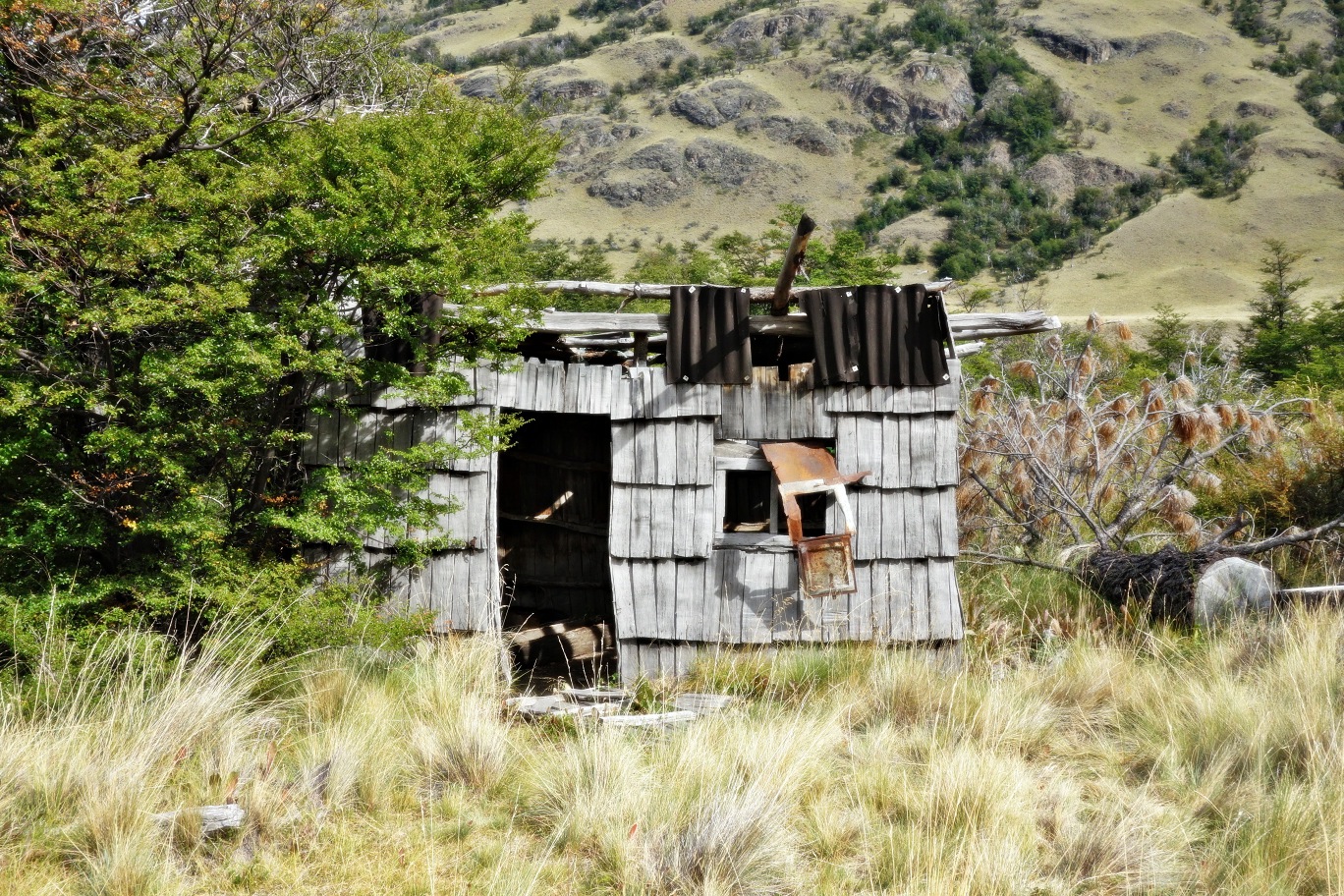
In February 2015 the campsite Casa de Piedra was opened on the site where previously there had been an old mule herder’s resting spot. This was remodelled and now includes places to camp as well as picnic. It is 1.5km to the east of the confluence of the Avilés and Chacabuco rivers. It is used as a starting point for exploring the Avilés Valley and the Jeinimeni mountains. Furthermore, close to the park administration centre there is another campsite called Westwinds which has huts for camping, toilets and warm showers run by solar energy. To camp in both areas costs costs CLP $5000 (US $10) per person per night, and is open between 1 October and 30 April.
Recommendations
- From the footbridge, it is possible to return via either side of the river, as there is a footpath on both banks. However, we recommend that you explore both sides during the excursion as they have different views of the valley. When you come to decide which side to walk first, take into account that path on the eastern side of the river gains more altitude that the western side, so it may be sensible to start with the path that is more physically demanding.
Gear
- Boots or trekking boots
- Trekking poles (optional)
- Windbreaker
Schedule
- Casa de Piedra - Footbridge - Casa de Piedra


Comments
Valle del Avilés
José Mena 18/06/2015
Punto alcanzado: Recorrido completo
Fecha expedición: 04/03/2015
Hermoso recorrido por un valle patagónico, a buen ritmo puede ser una excursión de media jornada, sino, es un día tranquilo de caminata. Mención especial a las pasarelas que cruzan el río Avilés, sobre todo la de la parte alta del valle, le da una cuota de emoción a la excursión
I did it!