Ruta de trekking Laguna Garañino
Región Metropolitana, Cajón del Maipo

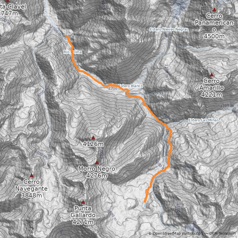
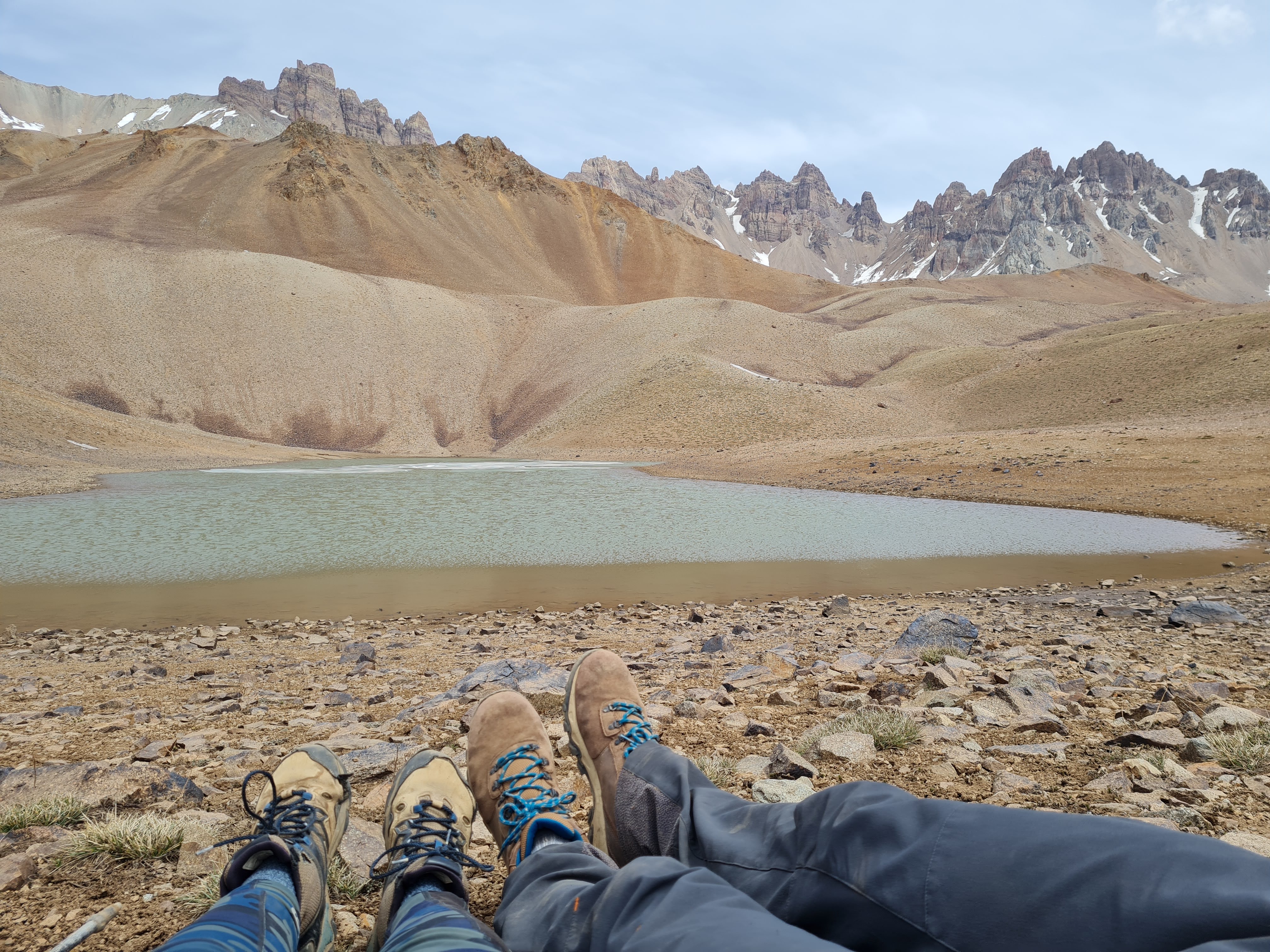
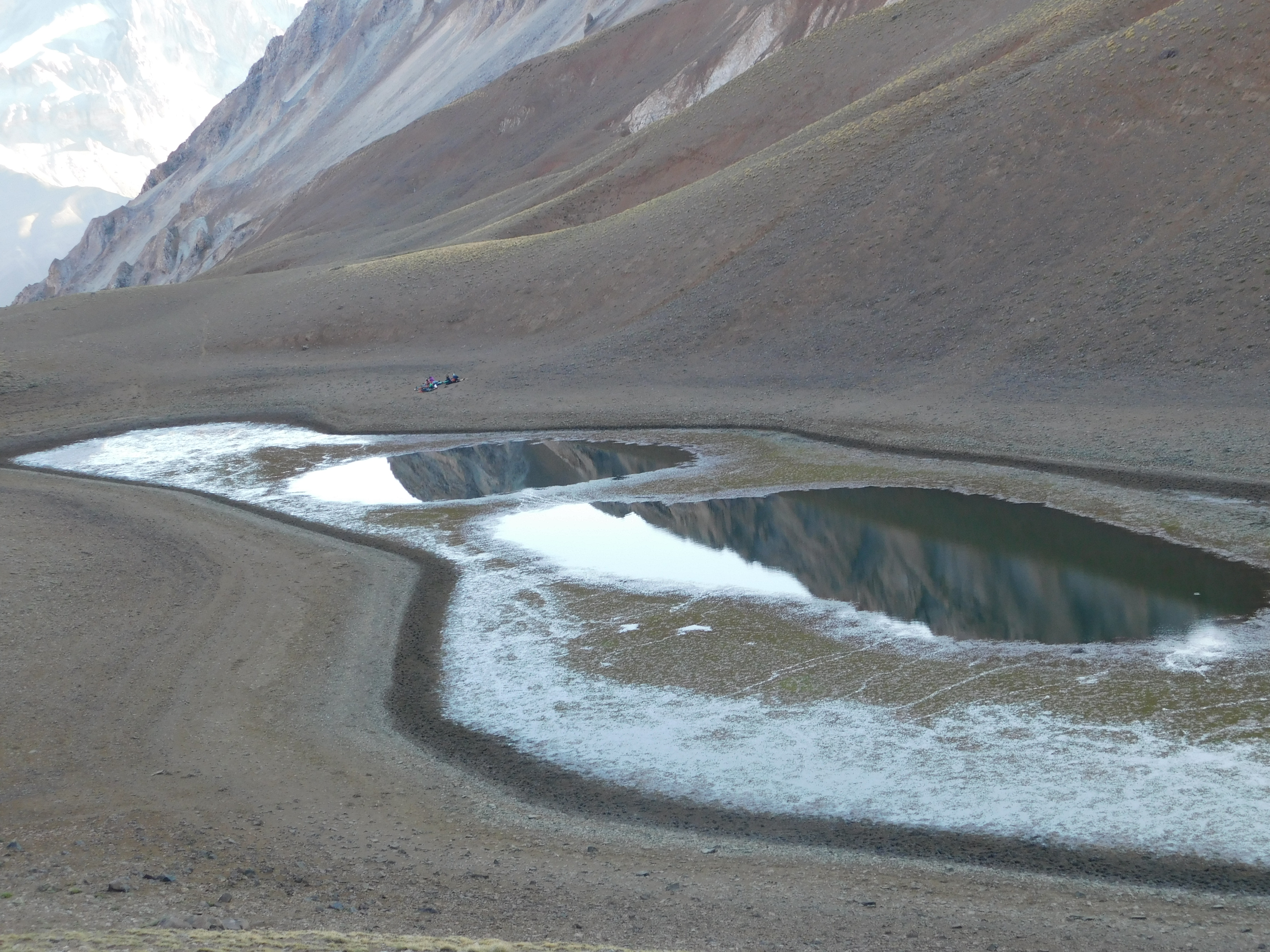
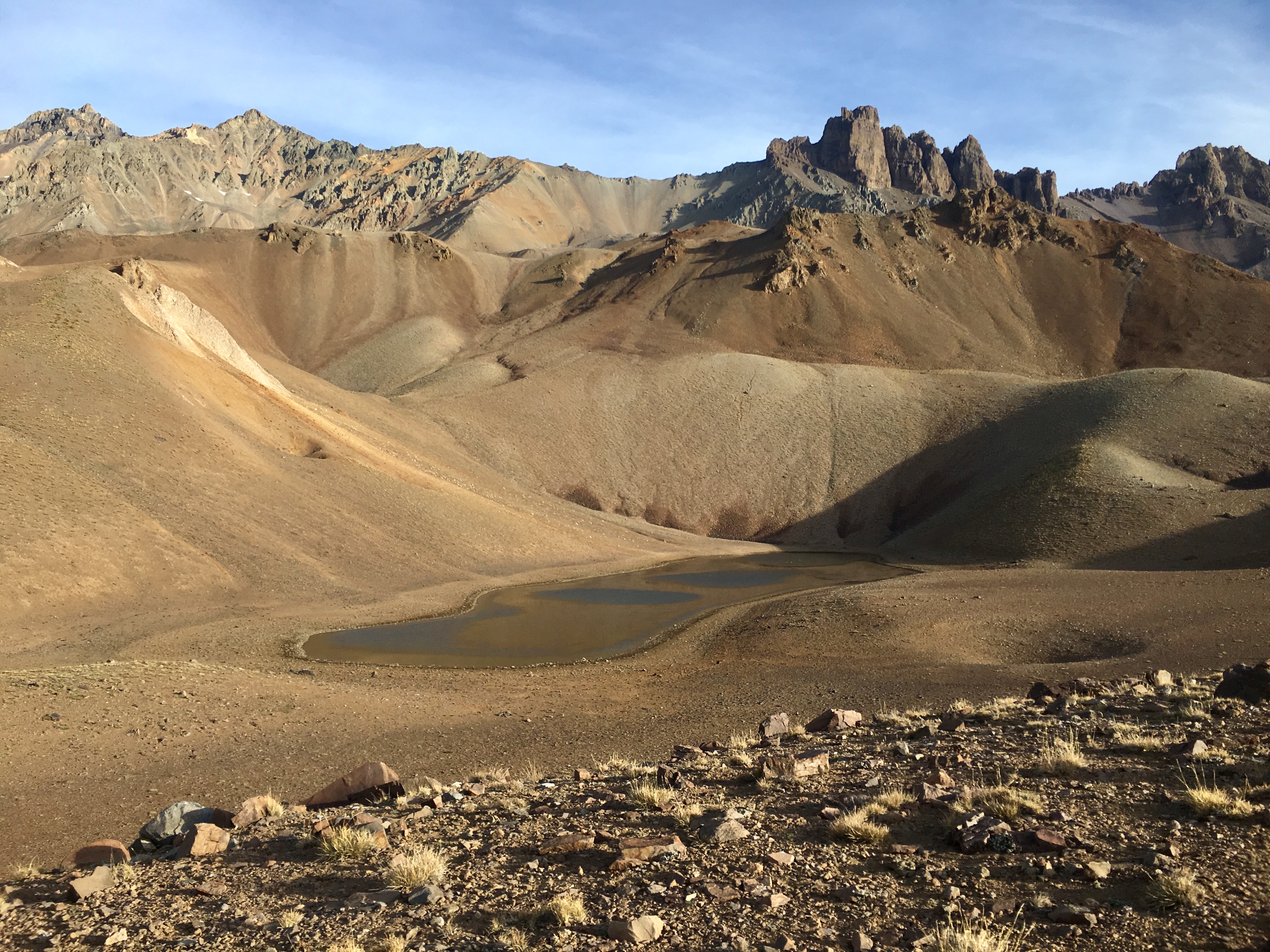
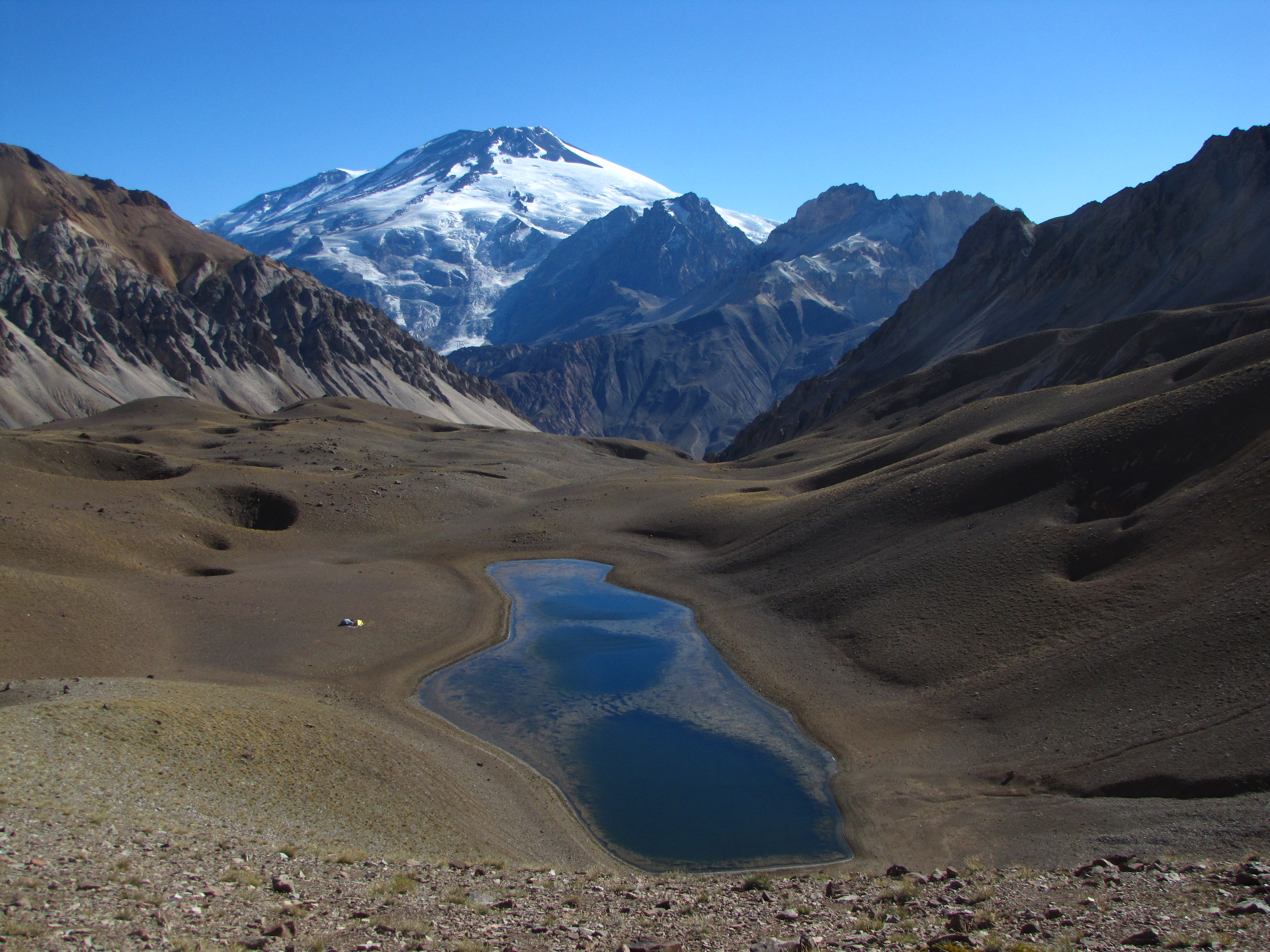
Hermosa laguna cordillerana ubicada en un cajón secundario de la cuenca del río Colina, el cual nace al unirse las aguas provenientes de este cajón con las del estero Las Minas. Desde la ribera de la laguna es posible obtener hermosas vistas a la cara sur del volcán San José y a la esbelta cara este del cerro Morro Negro. Además de comunidades de pato juarjual, se podrá advertir en sus alrededores curiosas depresiones circulares conocidas como dolinas.
En la carta del Instituto Geográfico Militar (IGM) aparece mencionada como laguna El Azufre, sin embargo, se ha preferido mantener el uso y denominación dada por los arrieros y gente de la zona, la cual la conoce como Garañino. Se desconoce el significado de esta palabra.
Verano y otoño es la mejor época, idealmente desde mediados de enero hasta que comiencen las primeras nevadas de cada temporada (alrededor de mayo). Durante primavera y principios de verano el río Colina aumenta su caudal debido al deshielo cordillerano, haciendo un poco más difícil su vadeo.
Desde Santiago siguiendo la ruta G-25 que se interna por el cajón del Maipo, se llega al pueblo cordillerano de San Gabriel, donde hay un retén de Carabineros y en el que conviene dar aviso de la excursión. Son 64km de camino pavimentado en buen estado que se pueden recorrer en poco más de 1h. Este mismo camino sigue serpenteando por la ribera sur del río Volcán, y tras unos 20km llega al villorrio de Lo Valdés (1845m). Hasta este último lugar el camino se encuentra pavimentado.
Desde Lo Valdés continuar siempre por la ribera sur del río Volcán. A 7km de esta villa se cruza el río hacia su ribera opuesta en el sector conocido como el Cabrerío. Desde este punto el camino continúa por 5km más bordeando el río hasta Baños Colina, donde se debe pagar por el ingreso al lugar. En el 2024 existe una tarifa de ingreso de $15000 (~US$10,5) p/p por día.
Ver acceso desde Las Vizcachas hasta Termas de Colina:
Para entrar a Baños Colina es necesario pagar una entrada de $8000 (~US$16) por persona por día de permanencia se utilicen o no sus instalaciones. Niños entre 4 y 13 años pagan $6000 (~US$12), menores de 3 años gratis.
La excursión propiamente tal no tiene, pero al inicio del trayecto hay un refugio cerca de las termas. Su precio es de $30.000 (~US$60) por persona, requiere reserva previa. El pago de la entrada da derecho además a utilizar las zonas de camping habilitadas cerca de las termas. Más información en Termas Valle de Colina.
- En caso de que se vaya en un grupo, se puede intentar negociar el precio de la entrada.
- Al regreso del sendero se recomienda pasar por las termas y tomar un reponedor baño.
- Precaución en los cruces de río, sobre todo en época de deshielo (primavera y comienzos del verano).
- No beber directamente de la laguna, su contorno tiene poca profundidad y tierra, además de ser visitada por patos juarjual. Hay esteros que desaguan en la laguna desde los cuales proveerse de este elemento.
- Calzado y vestuario de trekking
- Abrigo para temperaturas frías
- Sandalias para los cruces de río (opcional)
- Bastones de marcha (opcional)
- Equipo de campamento
- Santiago - Laguna Garañino
- Laguna Garañino - Santiago