Ruta de trekking Ranita de Darwin
Región de los Lagos, Parque Pumalín

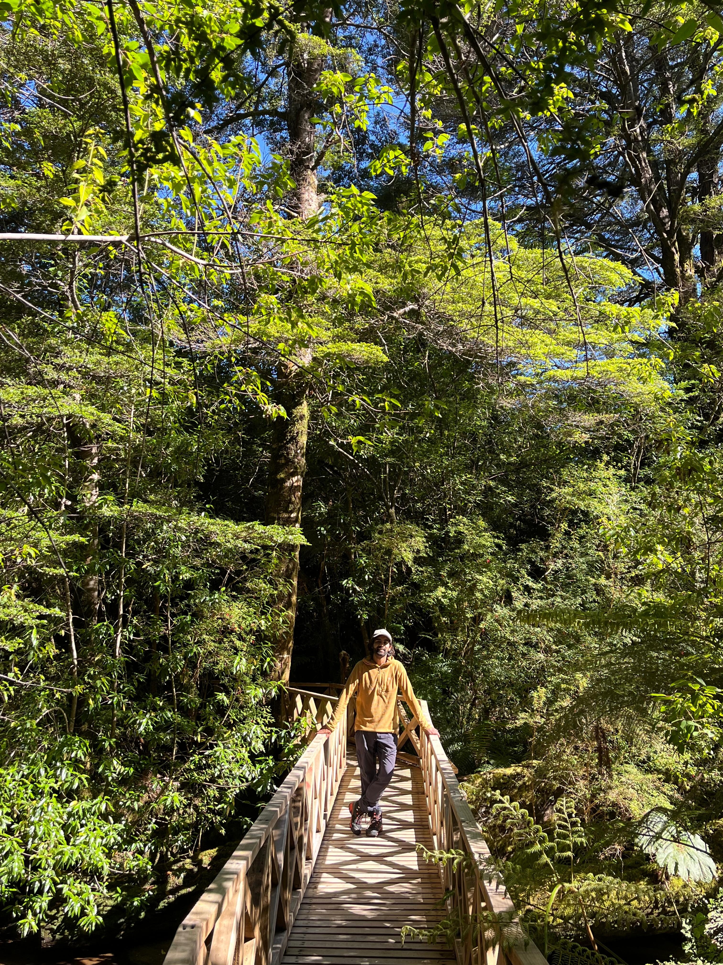
Para cualquier visitante del sector del Amarillo del Parque Pumalín, el sendero de la Ranita de Darwin es la más fácil y directa opción para adentrarse en la espesura del bosque y conocer así la gran variedad de especies que lo conforman. Especialmente llaman la atención la gran cantidad de mañíos de hoja punzante (podocarpus nubigenus), las enormes nalcas (gunnera tinctoria) y una gran variedad de líquenes y helechos presentes en el lugar. Con un poco de suerte también es posible encontrar a la pequeña y escasa rana que le da nombre al sendero.
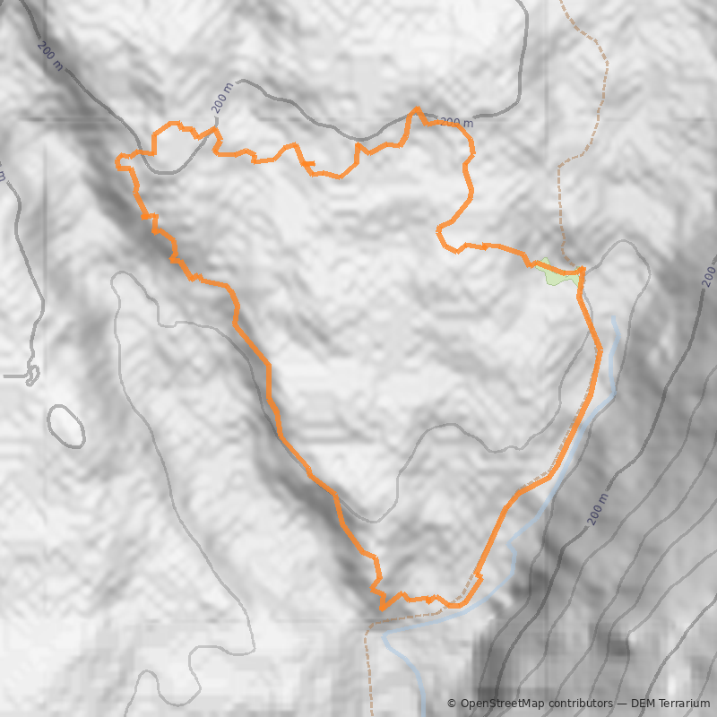
El recorrido de este sendero es través de un circuito de 2,8km de longitud, el que no presenta mayores dificultades, siendo apta su visita para toda la familia.
Todo el año. Sin embargo, se debe tener en cuenta que el Parque Pumalín se encuentra en una zona extremadamente lluviosa por lo que el verano resulta la época más recomendable para vistarlo. Debido a que el sendero de la Ranita de Darwin transcurre a través de un bosque muy denso es posible realizar el recorrido en un día lluvioso sin terminar completamente empapado.
Desde la ciudad de Puerto Montt hay que salir en dirección Sur hacia el pueblo de Chaitén. Para esto existen diferentes posibilidades.
La primera es tomar la Carretera Austral por 99km hasta el pueblo de Hornopirén, para lo cual es necesario cruzar en barcaza el estuario del Reloncaví en un viaje que dura aproximadamente 45 minutos. Desde Hornopirén se debe tomar la barcaza que sale todos los días hacia Leptepú o Vodudahue (horarios y tarifas se pueden consultar en Transportes Austral). Para este viaje se deben considerar unas 3h. Desde este último punto, Leptepú, se avanza por un tramo de 10km por la Carretera Austral cruzando la peninsula de Huequi hasta llegar al sector de Fiordo Largo donde se debe tomar otra barcaza que lleva en 45 minutos hasta Caleta Gonzalo.
Desde Caleta Gonzalo son otros 58km por la Carretera Austral hasta Chaitén. Existe transporte público que en forma regular cubre esta ruta. Conviene informarse en el terminal de buses de Puerto Montt acerca de los horarios y tarifas puesto que estos cambian con frecuencia.
Chaitén también es accesible desde Puerto Montt viajando por la isla de Chiloé. Desde la isla se puede tomar una barcaza que sale en verano desde Castro (consultar horarios y tarifas en Naviera Paredes).
Otra alternativa para llegar a Chaitén es hacerlo por vía aerea desde Puerto Montt. Consultar horarios y tarifas en Aerosur.
Acceso con Transporte Privado
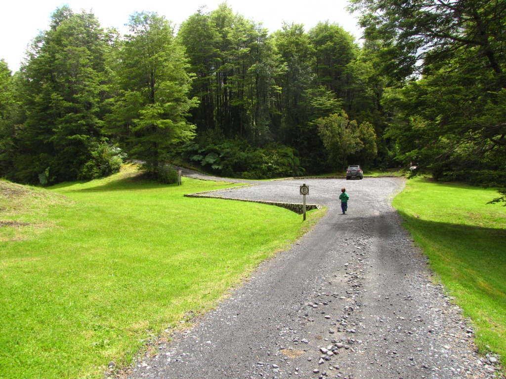
Desde el pueblo de Chaitén hay que salir por la Carretera Austral en dirección Sur por camino pavimentado para llegar tras 25km a la localidad del Amarillo. En este punto la Carretera Austral tuerce hacia la derecha (Sur), mientras que un camino de tierra continúa derecho (Este) hacia las termas del Amarillo. Esta última opción se debe tomar. Al poco avanzar, unos 100m, por este camino se tiene a la izquierda (Norte) el acceso al Parque Pumalín. Por este acceso y teniendo grandes vistas a la cara Sur del volcán Michinmahuida See photo 2, se debe avanzar por 4,2km hasta el inicio del sendero, correctamente señalizado y ubicado junto al camino entre alguno de los lugares de camping que hay en el sector. En este lugar se puede dejar el auto.

Acceso con Transporte Público
Para acceder en transporte público se debe tomar algunos de los buses que salen de Chaitén en dirección Sur y bajarse en el pueblo del Amarillo. Desde esta localidad hay que caminar poco más de 4km hasta el inicio del sendero. Horarios de buses se pueden consultar en Buses Becker.
El ingreso al Parque Pumalín es gratuito.
Existen al menos 4 sectores de camping en los alrededores del sendero. Dos de ellos se ubican junto al camino vehicular antes del inicio del sendero y otros dos más allá de este inicio.
- Se puede pedir al guardaparque una guía interpretativa que permite reconocer la flora, especialmente los árboles, del lugar.
- Durante el recorrido se cruzan un par de esteros desde los cuales se podría recoger agua en caso de ser necesario.
- Zapatos de excursión
- Chaitén - Ranita de Darwin - Chaitén