Ruta Rutas por el Flanco Norte y Noroeste Cerro La Parva (4.047m)
Región Metropolitana, Barros Negros

De diciembre a marzo es la época más adecuada, aunque La Parva es fácilmente ascendible durante todo el año. En invierno se debe ir preparado para enfrentar condiciones climáticas extremas. La sensación térmica de este cerro es bajísima puesto que se haya muy expuesto al viento norte.
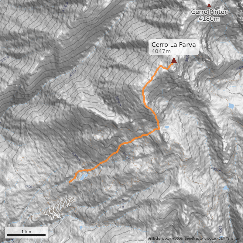
Desde Farellones continuar subiendo 5km por el camino vehicular hasta el centro de esquí La Parva. Luego, recorra el camino que sube en zig-zag y sale del condominio en dirección a la base del andarivel Las Águilas (2,6km desde la entrada a La Parva), punto hasta donde se permite el ingreso de vehículos.
(2.950m.s.n.m).
Dependiendo del tráfico, considerar 1½h de tiempo de traslado desde sectores céntricos de Santiago en vehículo particular.
IMPORTANTE: Para la temporada estival 2025 - 2026, el andarivel Las Águilas no estará operativo.
En temporada estival, el andarivel Las Águilas normalmente posibilita a los excursionistas llegar en 25 minutos al portezuelo Franciscano (3450m), evitando una caminata de 2 a 3 horas por huella vehicular, con 500 metros de desnivel.
- Días de funcionamiento: sábados y domingos.
- Horario funcionamiento andarivel: 8:00 AM a 17:00 PM.
- Última subida o bajada: 16:35 PM.
- Más informaciones acá: https://recargaonline.laparva.cl/
Sólo durante temporada invernal hay transporte público a La Parva.
Si el camino vehicular hasta el portezuelo no está habilitado y no está funcionando el andarivel, la excursión se prolonga en aproximadamente 2h a 3h.
Prácticamente no tiene aproximación por tratarse de una excursión que dura una jornada. Algunos prefieren alojarse cerca de los esteros que bajan por los faldeos de las canchas de ski, o en la laguna Piuquenes, que está a escasos metros del portezuelo.
Si se parte desde el centro de ski La Parva, se debe remontar por diferentes senderos el sector de Barros Negros hasta Piuquenes, cruzando en ocasiones una quebrada. La ruta en esta parte no es clara, y exigirá buena orientación de los expedicionarios. Una buena referencia es el torreón de roca de la Falsa Parva, que destaca cuando se mira hacia arriba. Se debe alcanzar las inmediaciones de esa punta, justo debajo de un portezuelo que permite pasar hacia el valle del río Molina (o hacia el sector de Valle Nevado).
Desde el portezuelo ascender La Falsa Parva (See photo 2). Esta parte toma menos de 1h y transcurre por cualquiera de los derroteros que zigzaguean los distintos acarreos de La Falsa Parva (tanto por el lado oeste o este del cerro). Una vez alcanzada la cumbre de la Falsa Parva (3888m), seguir la huella marcada de muy suave inclinación que se dirige en dirección al cerro Plomo, y que recorre el cordón de cerros hasta la cumbre del cerro Leonera (See photo 1). En pocos metros se llega a un plano lleno de pircas y lugares de campamento. Desde ahí una clara huella sigue por el filo hasta alcanzar el filo cumbrero de la Parva (See photo 1). También se podrá acceder a la cumbre por el Norte, siguiendo la huella principal que se dirige hacia los cerros Pintor y Leonera hacia el noreste. Esta huella rodea en menos de 15 minutos la base de la Parva hasta alcanzar el portezuelo que separa el Pintor de la Parva, lleno de pircas y planos. Desde ahí un notorio zigzag remonta hacia la Parva, que se ha venido dejando atrás. Cualquiera de los caminos a seguir no demoran más de 40 minutos hasta la cumbre. En total, desde Piuquenes, entre 1½h y 2h.
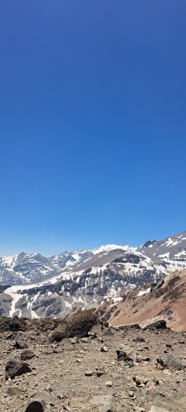
Desde la cumbre se tiene muy buena vista a la cordillera central, en especial la línea de cerros que termina en el Plomo. Algunos serán tentados a hacer un intento al Pintor por su cercanía.
Cualquiera de los cerros ubicados en este cordón acumulan mucha nieve en sus faldeos durante el invierno. Una excursión invernal es un buen ejercicio de travesía sobre campos de nieve polvo honda (See photo 3).
Variante: Canaleta cara este*
En la cara este del cerro La Parva se encuentran una serie de canalones de nieve-hielo por los cuales se pueden realizar ascensiones más directas dando origen a variantes de las rutas normales. Tanto el acceso como la aproximación son idénticas.
Desde la laguna, dirigirse al grupo de canaletas que flanquea el cerro La Parva, empinarse en el nevero de su base y escoger la vía directa hacia la primera canaleta que se ve desde izquierda a derecha. El primer tramo es muy simple (unos 25° en nieve dura), pero hay que prestar atención a la caída de material de los diversos farellones. Ya en la canaleta, la ruta se empina a unos 35° para continuar con una pequeña sección de 45° a 50° con hielo cristal (menos de 10m). Superado este tramo continuar hasta quedar a unos 10m de la cornisa y posteriormente traversear hacia la derecha hasta la posición de salida de la tercera canaleta de izquierda a derecha. En este punto se supera limpiamente la cornisa y se empalma con la ruta normal que desde la Falsa Parva permite acceder a su cumbre en unos 15 minutos See photo 5.
*Este es un aporte de Pablo Jeffs M.


- No subestimar el efecto de la puna. Para los que van por primera vez se sugiere ir despacio.
- Para la variante: Especial cuidado con la hora de la ascensión, mientras más temprano mejor, así se evitará la exposición innecesaria a la caida de piedras. También es necesario algo de experiencia con crampones y conocer técnicas de autodetención en nieve.
- Se recomienda avisar de la salida al Cuerpo de Socorro Andino. Se puede hacer a través del formulario en su página web.
- Abrigo y cortaviento
- Piolet y crampones (sólo para la variante)
Itinerario Normal
- Santiago- Cumbre - Santiago
El cerro es una excursión por el día.
Itinerario Alternativo
- Santiago - Laguna Piuquenes
- Laguna Piuquenes - Cumbre - Santiago
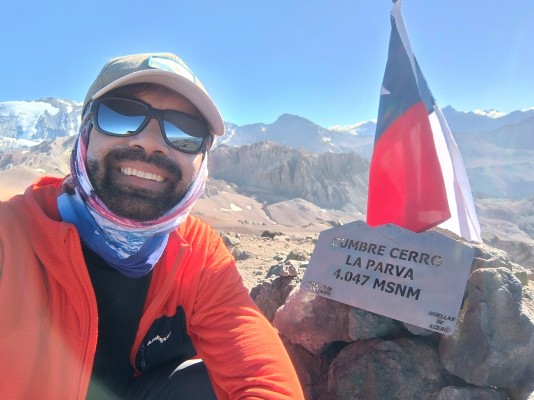
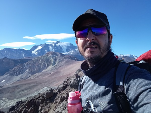
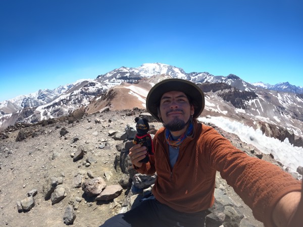
 Mi tercera cumbre en este cerro, esta vez como preparación para intentar un 5000 mts en San Pedro de Atacama. La subida fue sin telesillas y por la ruta que bypasea la Falsa Parva. El tiempo estuvo espectacular y la cumbre me volvió a maravillar con su impresionante vista.
 Hermosa panorámica y vista desde la parva hacia el pintor, cerro sin dificultad técnica.
 Este día fuimos x 2 4mil del sector (Pintor - la Parva).. hermosa panorámica del cajón
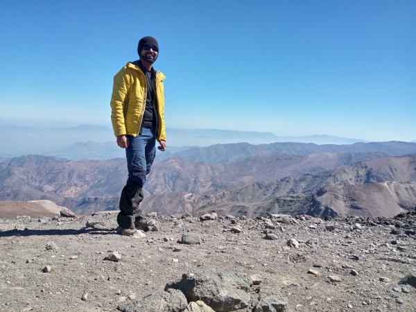
 Bajando desde Federación tras ascender el Plomo aproveché de subir esta pequeña e ignorada cumbre y tomar unas fotos con la plaquita que instalaron hace unos días
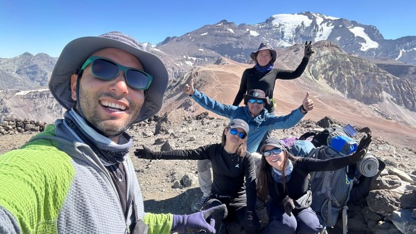 Expedición "Cuatro - 4 Miles", Club Andino Rancagua, Cerros Leonera 4.950 m., Punta Hermandad 4.930 m, Pintor 4.200 m. y La Parva 4.080 m. Daniela Albornoz Maribel Fuenzalida Rosario Valdivieso Mauricio Morales Samuel Cuevas

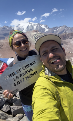
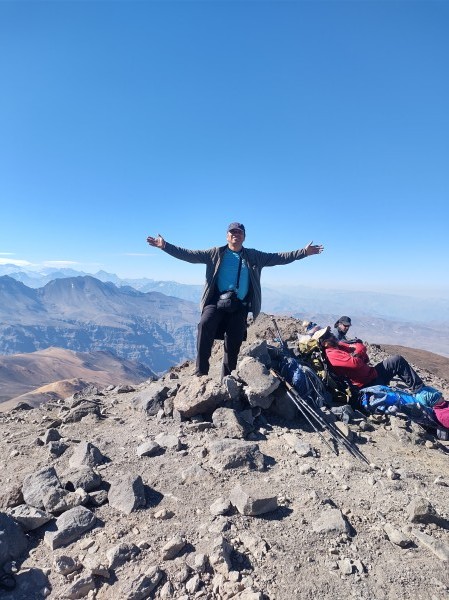
 Vista a Co. El Pintor Buena Jornada, 4 Cumbres en 1 día: Co. Franciscano (3612 msnm), Co. Falsa Parva (3888 msnm), Co. La Parva (4047 msnm) y Co. El Pintor (4180 msnm). Agradecimientos a mi compañera de ruta por el Apañe y el acierto fotográfico.
 This hike is mostly within a large ski resort. All the first part until Pintor was on trail. We passed a few backpackers and hikers. After Pintor we left the trail to drop quicker.
 Mi segundo ascenso a este cerro en este año, pero esta vez no hacía tanto viento y estaba mucho más despejado que la primera vez en enero. Este ascenso fue parte del entrenamiento para intentar hacer cumbre en El Plomo., parece que fue insuficiente... :(
 El cerro Parva y el Pintor son excelentes cerros en altura para aclimatar.
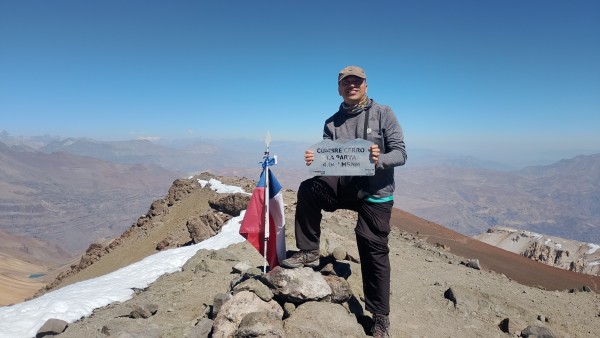
 Cumbre Cerro La Parva Cordada: Héctor Becerra Díaz Francisco Ampuero Muñoz
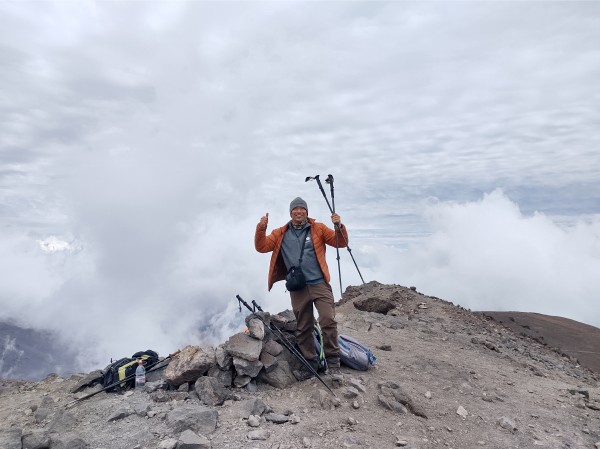 Cerro de fácil acceso, lo que complica un poco es la altura. Senderos bien marcados y de no gran pendiente una vez alcanzada la Falsa Parva. El día estaba un poco nuboso y con mucho viento, muy linda la vista desde la cumbre, El Plomo se ve imponente.

 Buen Cerro. Duro el acarreo. Lindas vistas de lá cumbre de ese 4mil clássico No usamos crampones pero tenia nieve
 Buen estado de la ruta, Luego de haber hecho cumbre en el cerro Leonera, Punta Hermandad y el pintor al descenso pase al cerro La Parva. Tiene una muy bonita vista desde su cima.

