
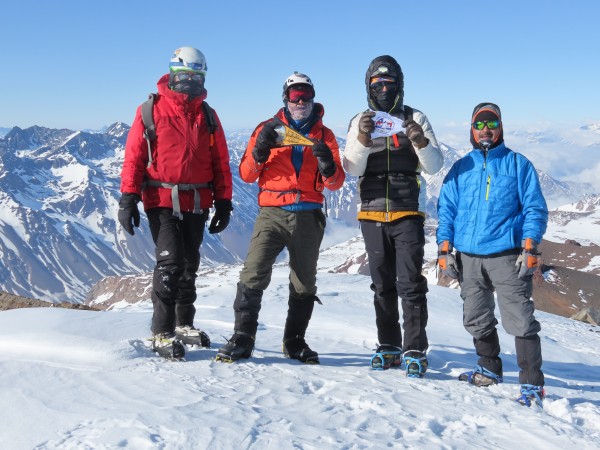
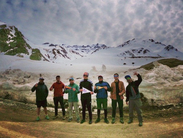
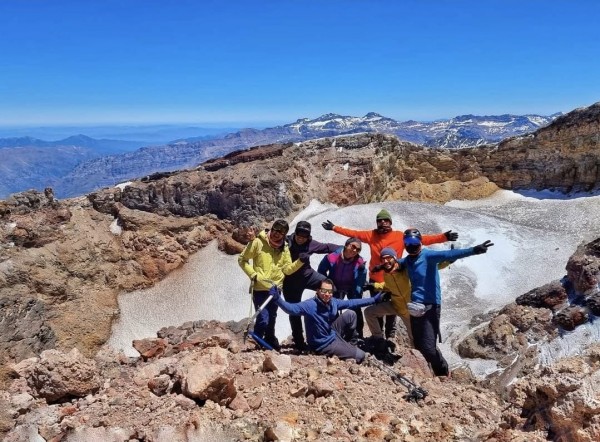
Presentación
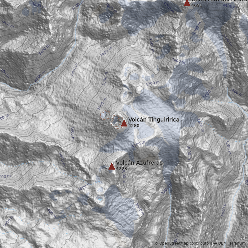
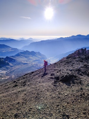
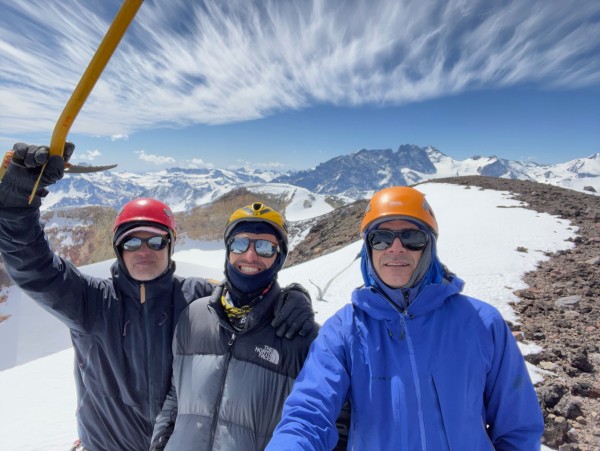
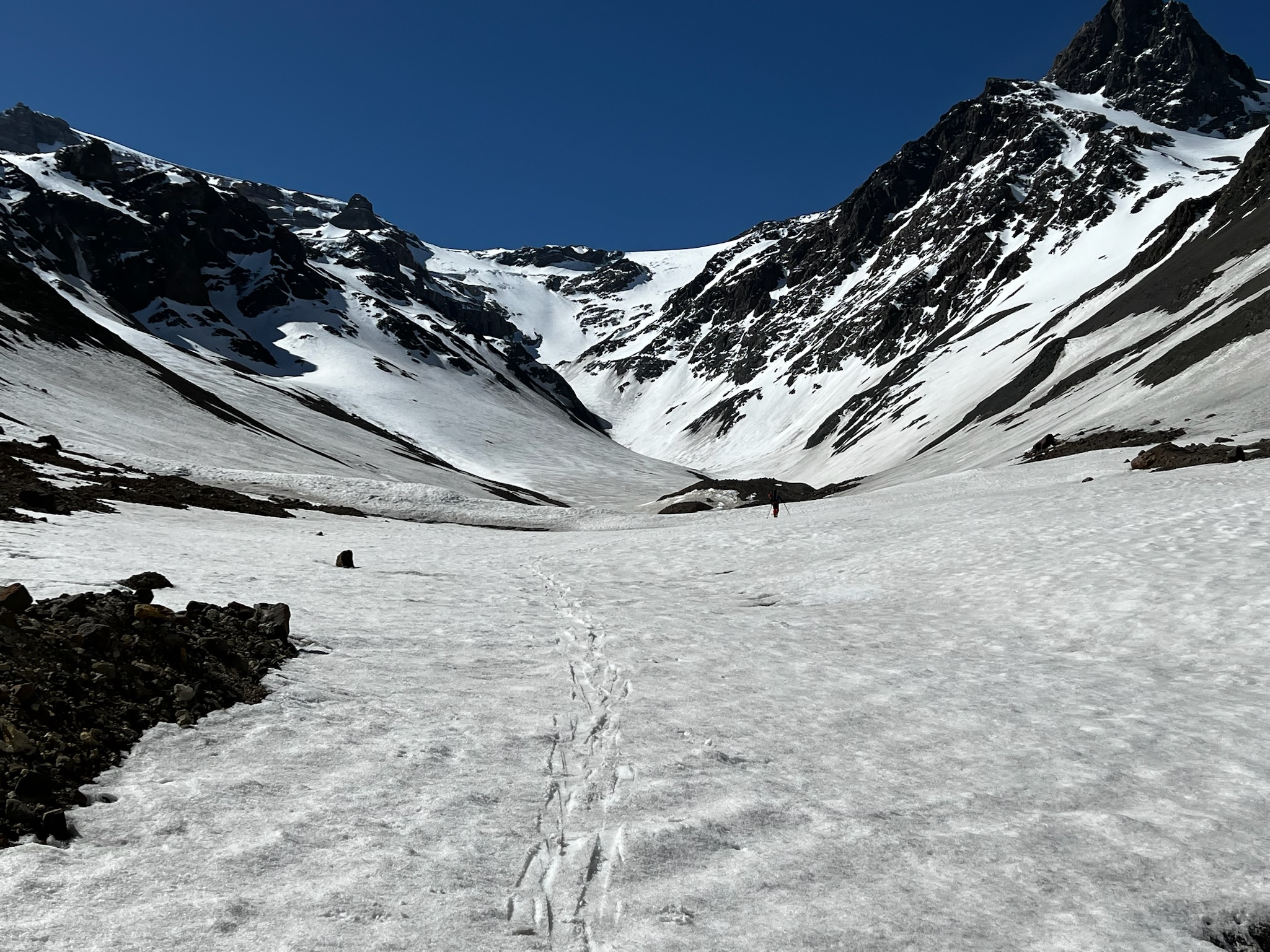
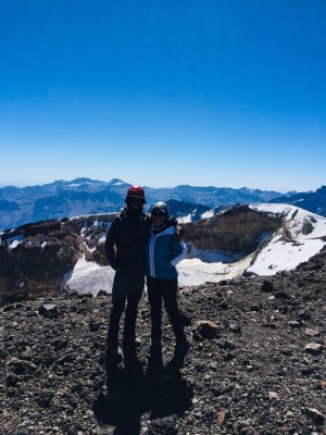
Hacia el interior de San Fernando, entre los ríos Azufre y Tinguiririca, se levanta el sistema geológico del cual este volcán constituye el punto más alto: una larga fisura, colmada de puntos activos o “calientes”, famosa por algo más que sus aguas termales. Es esta una montaña de transición. Se instala inmediatamente al sur-este de las paredes graníticas y los grandes glaciares con que nos sorprenden los Andes de la Reserva Nacional Río de los Cipreses, ubicándose próximo al imponente cerro El Brujo y al glaciar Universidad. Es, por el norte, de los primeros conos volcánicos, que en lo sucesivo dominarán la cordillera de la Araucanía y los Lagos. Para llegar a este volcán y sus activas laderas se debe realizar una hermosa y larga aproximación, que permite recién al segundo día admirar sus pendientes. Además de la impresionante vista desde la cumbre – que se explica por la mayor dispersión de los Andes en la zona y su cráter glaciado - y de las gratificantes termas de su campamento alto.
Geológicamente, este volcán corresponde a una fisura volcánica, conformada por una decena de cráteres recientes, alineados en dirección norte-sur. Sus productos corresponden a lavas y depósitos de flujos piroclásticos, variando composicionalmente desde andesita a dacitas. Su actividad histórica posee un registro muy pobre, algunas crónicas mencionan actividad eruptiva en 1779 y 1830, además de la última erupción que habría ocurrido en 1917, momento a partir del cual ha presentado una constante actividad fumarólica.
Por error, se ha identificado al Tinguiririca como el lugar donde en octubre de 1972, un avión de la Fuerza Aérea Uruguaya que volaba hacia Chile se estrelló. Sin embargo, tal hecho ocurrió unos kilómetros más hacia el noreste, en las faldas orientales del cerro Alto del Azufre.
Para el origen de su enmarañado nombre hay variadas versiones. Una de ellas dice que proviene del mapudungun y significa "cuarzo resplandeciente", aunque según otra referencia la traducción es bastante diferente: cuarzo redondo. Otra versión de su nombre, entregada por Evelio Echevarría, lo relaciona con una leyenda según la cual el nombre original del volcán era "tiniriequeco" que se refiere al duende andino o equeco, término aimara que se representa como una estatuilla gorda y pequeña que se entrega como regalo para desear felicidad y bienestar. Según el argentino Gregorio Álvarez tiniriequeco significa "seres débiles, prácticos en cavar". Según mineros de la zona en el Tinguiririca habría un enjambre de enanos que trabajan las minas del volcán. Estos enanos sienten una gran hostilidad por los mineros que extraen los minerales y si encuentran alguno, lo matan. Tan convencidos se encuentran estos mineros de la presencia de los enanos que les advierten a los novatos de esta forma: "¡Tengan mucho cuidado que no los agarren los tinguiriricas!"
Por su parte, la historia del primer ascenso del Tinguiririca no es del todo clara. Por mucho tiempo se consideró que el primer registro de un ascenso a su cumbre correspondía al de 1930 por el francés Lalive d´Epinay y la alemana de apellido Kuhn von Boembley (lamentablemente su nombre de pila no ha quedado registrado puesto que en los relatos existentes sólo se la llama Frau o señora Kuhn von Boembley). Como curiosidad, cabe agregar que en el relato de este ascenso se menciona la posibilidad de que se trate de la primera ascensión con un signo de interrogación y que la señora Kuhn habría batido el récord de altura femenino en Chile tras alcanzar la cumbre del Tinguiririca a la que erróneamente se le atribuyeron 5400m de altitud. En el relato se le asigna el récord anterior a la baronesa von Meyendorff por haber ascendido el cerro Tolosa de 5300m a pesar de estar ubicado éste en territorio argentino. Sin embargo, según menciona el historiador Diego Barros Arana, en 1830 el naturalista francés Claudio Gay acompañado por el chileno Feliciano Silva habrían alcanzado la cumbre. Según el relato de Gay "despues de cinco días de una marcha mui penosa llegamos al pie del volcán: fuimos desde luego a visitar una mina sumamente rica i pura, i despues Silva y yo subimos a la cumbre del volcan, al cual llegamos con un trabajo increible, a causa de los grandes bancos de nieve que tuvimos que atravesar, i de la incomodidad de las cenizas y escorias sobre las cuales nos era preciso subir."
Referencias
- Sernageomin
- Kuhn, P.P. Zwei Touren im Tinguiririca Gebiet. Revista Andina 1930, Heft 5, Club Alemán Andino (pág. 116-117).
- Echevarría, Evelio (1988). Leyendas de los Andes de Chile. Arancibia Hnos. y Cía. Ltda. (pág. 83-86).
- Barros Arana, Diego (1911). Don Claudio Gay, su vida i sus obras: estudio biográfico i crítico escrito por encargo del Consejo de la Universidad de Chile (pág. 291).


