Summary
General Information
Volcán Palomo
Acceso con restricciones
Location: Chile, Región del Libertador Bernardo O'Higgins
Area: Sierra del Brujo
Nearest city: Rancagua
San Fernando
Altitude:
4860 m.
Year First ascent: 1927
First ascent:
Paul Schucan (CH) y Damasio Beiza (CL)
Geographic position:
Lat: -34° 36' 38.4" (WGS 84)
Lon: -70° 17' 48.6"
Alta Montaña
Volcán
Routes
Summit Book
Last Update
 Sign the summit book
Mountain
Updated at 20/04/2016


")

Introduction
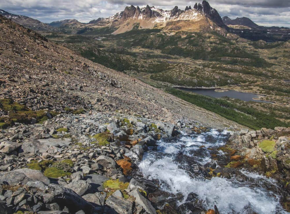
Even though the Volcán Palomo (4850 masl.) isn´t the highest mountain in the area, it is, without doubt, one of the most beautiful and outstanding. Its name comes from the shape given to it by its two glaciers (palomo=pigeon), which resemble the wings of such bird.
This extinct volcano is located in the very heart of the mountain range which guards Chile´s Sexta Región (Sixth Region) to the East. Its slopes give birth to four glaciers which together are the most extensive glacial region of Central Chile. Towards the North flows the Palomo Norte Glacier; towards the West we find the snowfields which feed the Cipreses Glacier; South of the volcanic cone there is a great ice extension known as the Gran Plateau, being 4 kms. wide and 7 kms. long. This great plain feeds mainly the Cortaderal Glacier, which suddenly falls to the West and then turns North. In the South of the Gran Plateau, a sort of ice overflow occurs, forming one of Central Chile´s most extensive glaciers, the Universidad Glacier, which is 12 kms. long.
The Volcán Palomo holds dominion over one of the most beautiful mounatin areas in Chile, la Sierra del Brujo, a zone rich in vertical granite walls which, together with its great glaciers, make it very similar to the Alps. Its first ascent was made in 1927 by Paul Shucan and the arriero Damasio Beiza, who climbed it up its north flank. Decades later, climbers from the Club Andino Mañke and the Club Andino Aguilas de Rengo did several ascents.
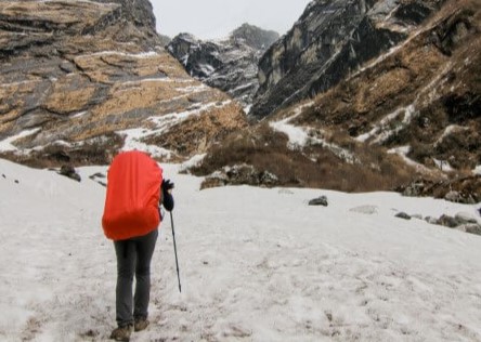
Although the Palomo may be accessed by its four glaciers, the best known route is by the Universidad Glacier, which is reached by the road that connects San Fernand with the Termas del Flaco (Flaco hotsprings), and then hiking North, following the Azufre River first and then the San José River, until reaching the front of the glacier. The other route is by the Cipreses Glacier in the Río Cipreses National Reserve.